Why Deserts Make Natural Borders: From the Sahara to the Gobi

Learning Science Writer
Last updated: August 2026
8 min read
TL;DR
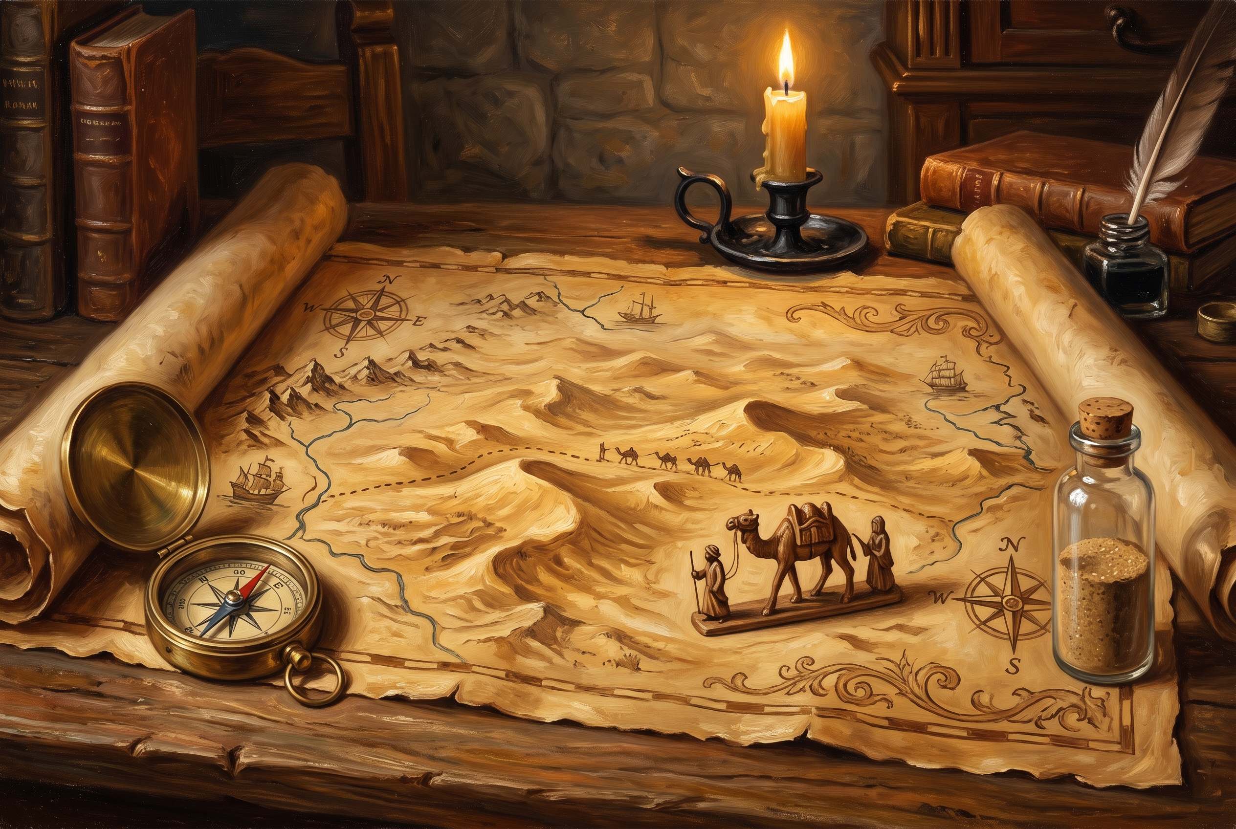
A desert is best understood as a sea that happens to be dry. It is not empty and it is not impassable, but it can only be crossed along a small number of known routes with water at the right intervals, which gives it the same structural role as an ocean: it separates, it channels traffic through chokepoints, and it makes the ground on either side develop differently. The Sahara divided Mediterranean Africa from Sub-Saharan Africa for most of recorded history while trans-Saharan caravan routes stitched them together at specific oases. The Gobi shielded the agricultural heart of China from the steppe. The Empty Quarter and the Atacama did similar work in Arabia and South America. Deserts are also why so many borders in dry regions are straight lines: with few people and no rivers to argue over, surveyors used latitude and longitude. Rail, aircraft and satellite navigation have weakened the barrier without erasing it, because water is still the constraint.
Open a political map of Africa and the difference is impossible to miss. In the wetter regions borders wander, following rivers, watersheds and ridgelines. Across the Sahara they run straight, for hundreds of kilometres at a time, as though drawn with a ruler by someone who had never been there. Which, frequently, is exactly what happened.
That contrast is the visible surface of something structural. Deserts shape states as forcefully as mountains and coastlines do, and they do it by controlling one resource.
A desert is a dry sea
The most useful mental model is maritime. Before modern logistics, an army or a caravan crossing a desert faced the same problem as one crossing water: you cannot live off the ground you are travelling over, so everything you need has to be carried, and your route is dictated by the places you can resupply.
That produces three consequences that will be familiar from any discussion of sea power.
- Traffic concentrates on a few viable routes, defined by the spacing of wells and oases rather than by the shortest distance.
- Those routes become chokepoints, and whoever controls the water controls the crossing without needing to control the emptiness in between.
- The two shores develop separately, because casual contact is expensive and only organised, capitalised crossings are worth making.
The point about the shores matters most. Barriers do not merely inconvenience travellers, they let cultures, languages, crops and political systems evolve independently. It is the same mechanism we traced in mountains as borders, where relief performs the separating and passes perform the channelling.
The Sahara
The Sahara is roughly the size of the United States and it is the clearest case. For most of recorded history it divided the Mediterranean world of North Africa, oriented toward Rome, Byzantium, the Levant and later Ottoman power, from the West African world of the Sahel, oriented toward the Niger and the forest kingdoms to its south.
Divided, however, is not the same as sealed. Trans-Saharan trade routes ran for centuries between the Maghreb and the Sahel, and their geography is instructive: they threaded from oasis to oasis through places such as Ghadames, Ghat and Taghaza, and the great southern terminus at Timbuktu grew wealthy because it sat where desert transport met river transport on the Niger.
What crossed reflected the cost of crossing. Salt came south from Saharan mines, gold and other high-value goods came north, and the traffic in enslaved people moved along the same corridors. Bulk grain did not cross, because bulk grain cannot pay for its own camels. That is exactly the pattern of any expensive route, and it is why the desert transmitted wealth, religion and manuscripts while barely transmitting agriculture. Something similar happened along the overland Asian corridors, which we looked at in the context of the Silk Road and modern trade.
The camel deserves its reputation here. Its spread in North Africa in the early centuries of the common era did not conquer the Sahara, but it lowered the cost of crossing enough to turn occasional contact into regular commerce. Barriers rarely fall. Their toll gets renegotiated.
The Gobi and the steppe frontier
The Gobi worked differently and reveals a second function. It did not separate two settled civilisations so much as buffer one from a mobile neighbour, lying between the agricultural core of northern China and the grasslands of Mongolia.
For a settled state, a desert on the frontier is a mixed blessing. It obstructs invading armies, which need supply, but it barely obstructs mounted nomads who move with their own food supply on the hoof. The Gobi therefore reduced the frequency of large organised invasions while leaving Chinese dynasties permanently exposed to fast raiding, which is one reason so much imperial effort went into fortification, garrisoned corridors and diplomacy with steppe confederations.
The Hexi Corridor makes the chokepoint logic concrete. A narrow habitable strip between desert to the north and the Tibetan plateau to the south, it was the route by which Chinese trade and influence reached Central Asia, and controlling it was a recurring strategic objective for exactly the reason narrow places always are.
The Empty Quarter and the Atacama
The Rub' al Khali, the Empty Quarter of the Arabian Peninsula, is the largest continuous sand desert on earth and among the most genuinely hostile. Historically it split the settled south of Arabia from the centre and the coasts, and populations, trade and political power sat around its edges. Its interior remained so marginal that boundaries there were left vague long after boundaries elsewhere were fixed, which is itself a lesson: states bother to define lines where there is something to define them over.
The Atacama in South America adds the counterpoint. One of the driest places on the planet, it long separated the Andean cores from the Pacific coast approaches, and it was ignorable until it was not. When nitrate deposits in the desert acquired enormous commercial value in the nineteenth century, an area nobody had wanted to survey precisely became worth fighting over, and the borders of the region were redrawn accordingly.
The general rule follows from that. A desert border is stable while the desert is worthless. Discover something under it, whether nitrates, oil or minerals, and vague lines become urgent.
Why the lines are straight
Now the map question. In wetter country, borders follow features because features are where people already are: a river separates two farming communities, a ridge divides two watersheds, and the boundary formalises a distinction that already exists on the ground. We traced that logic in rivers and empires.
Deserts offer no such material. There is no continuous river, no meaningful ridgeline, and comparatively few permanent settlements to fix a line between. When nineteenth and twentieth century negotiators divided dry regions, often in European capitals with poor maps, they reached for the only unambiguous references available, namely latitude and longitude.
Straight desert borders are therefore not evidence of laziness so much as evidence of absence. They mark places where there was nothing on the ground that a line could be persuaded to follow. The broader relationship between terrain and state power is the theme of geography and power, and desert boundaries are its clearest illustration.
What technology changed, and what it did not
Railways from the nineteenth century onward, then aircraft, motor transport, satellite navigation and deep boreholes, all reduced the cost of moving across dry country. A flight crosses the Sahara in hours. Pipelines and roads run where caravans once counted wells.
But the constraint was never distance, it was water, and water has not moved. Deep wells and desalination extend habitability at a cost in energy and capital, which means settlement in deserts still clusters where those inputs are supplied. Infrastructure remains linear and therefore concentrated, so corridors still matter more than area. And the demographic and cultural separation that centuries of barrier produced does not reverse because the crossing got faster.
This is the honest version of the story: technology thins barriers, it does not delete them. If you enjoy reading structure off a map, the habit is worth building deliberately, and we set out how to do it in how to read a geopolitical map. Browse our topics if you want more of the same.
Frequently asked questions

One snap tomorrow morning.
Two minutes in art, history, psychology, philosophy or economics, then the app tells you you're done.
Get MindSnap on iOSFree daily fact, forever. Pro is $9.99/month or $44.99/year.