Why Rivers Made Empires: From the Nile to the Rhine

Arts & History Editor
Last updated: August 2026
9 min read
TL;DR
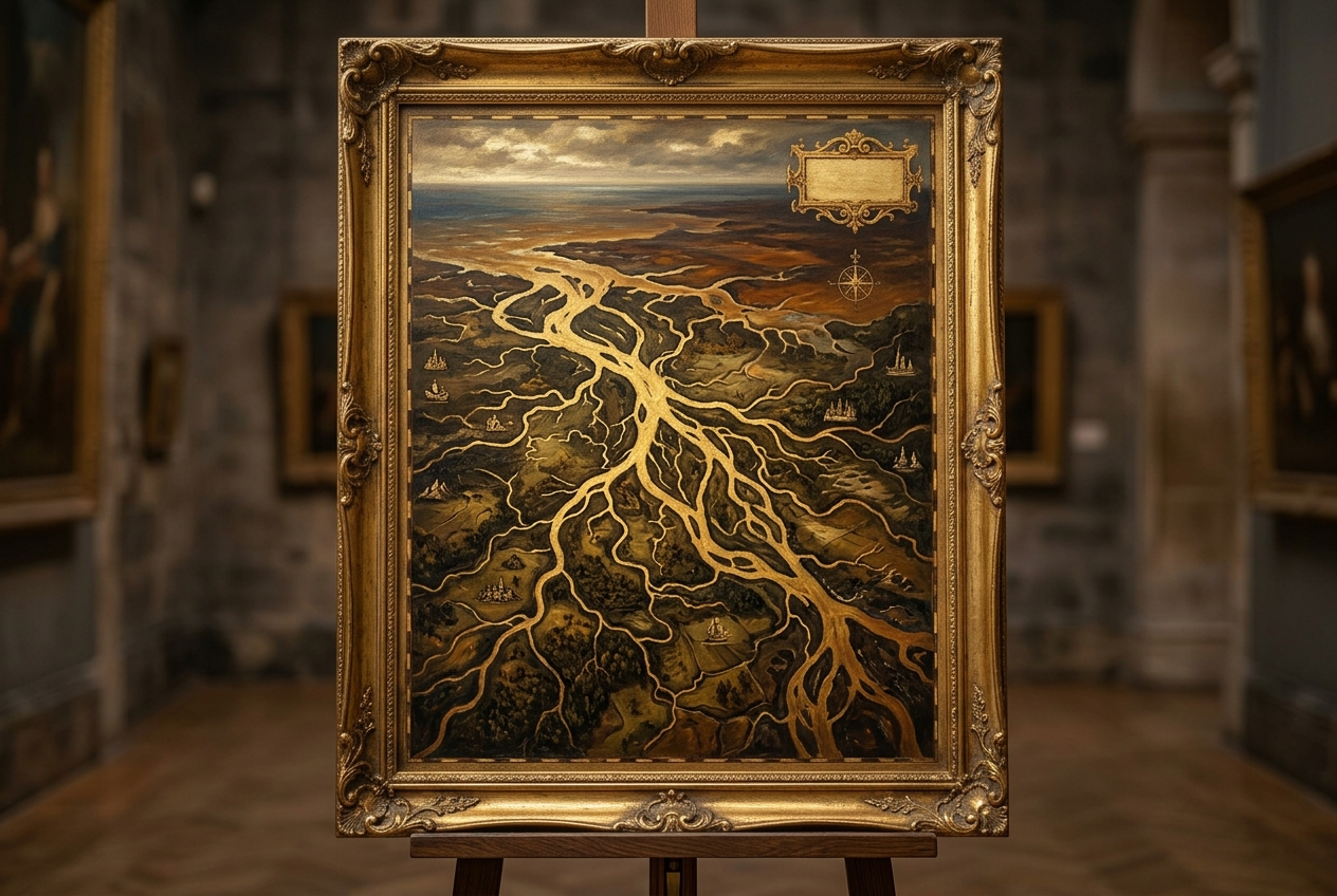
Rivers built states because they did four things at once: they moved goods and armies cheaply, they fed the population with predictable irrigation or flooding, they concentrated trade at bridge and port points a ruler could tax, and they looked like a natural border even when they behaved more like a shared corridor. The Nile, Tigris-Euphrates, Danube, Rhine, Mississippi and Yangtze each show a different version of the same pattern, and their bridge points are largely still our cities today.
Before railways, a loaded cart moving over land cost far more per mile than the same load moving on water. That single fact of physics did more to decide where states could form, where taxes could be collected and where cities would grow than almost any political decision made by any ruler. Rivers were the cheap road, the reliable field and the natural tollbooth, often all three within the same fifty miles of bank.
Four things a river does for a state
- It moves people, grain, timber and soldiers at a fraction of the cost of a road, especially downstream.
- It can renew farmland automatically through flooding or irrigation, supporting population density that dry-farmed land cannot.
- It creates natural pinch points, fords, bridges and confluences, where a ruler can station a garrison and collect tolls from everyone who has to pass.
- It looks, on a map, like a clean line between one territory and another, which is a very different thing from actually being one.
The Nile: one axis, one state
Ancient Egypt is often described as a gift of the Nile, and the description holds up better than most geographic clichés. The river's flood was unusually predictable across the agricultural year, depositing silt that renewed farmland without the labour-intensive irrigation works that Mesopotamia needed. Because the Nile flows south to north while the prevailing wind in the region blows north to south, boats could sail upstream and drift downstream, which meant the entire river valley functioned as a single transport axis in both directions. That is an unusual gift: most rivers make one direction of travel much harder than the other.
The practical result was a long, narrow, unusually unified state running along a single line, administered from a small number of points along that line, with the desert on either side acting as a genuine barrier rather than a contested frontier. Few river systems anywhere offer that combination of a predictable flood, two-way navigability and hard natural edges.
Tigris and Euphrates: irrigation, silt and the birth of administration
Mesopotamia's two rivers were far less obliging than the Nile. Their floods came at a less convenient point in the growing season and were less predictable, so farming depended on constructed irrigation canals rather than a natural annual gift. That had a significant side effect: canals need maintenance, allocation and dispute resolution, all of which require record keeping. Some of the earliest writing systems in the region emerge alongside administrative needs tied to managing grain, labour and water rights, a connection historians of the ancient Near East take seriously, while noting writing had multiple uses beyond irrigation accounting.
The irrigation itself carried a long-term cost. Repeated irrigation in a hot, poorly drained plain gradually raises soil salinity, and some scholars link long-term declines in southern Mesopotamian crop yields partly to this effect, alongside war, silting and shifting river courses. The rivers that built the region's earliest cities also, slowly, worked against them.
The Danube: frontier and corridor at once
For the Roman Empire, the Danube served as both a defensive line and a supply corridor, a combination that reveals how differently a river can function depending on which bank you are standing on. Legions and forts lined it as a limes, a frontier system, while the same water moved grain, troops and administrators between provinces that would have been difficult to hold together over the equivalent distance by road. In the modern era the Danube has continued this dual character, at various points serving as a political boundary between states and, in periods of open cooperation, as a shared trade corridor connecting central Europe to the Black Sea.
The Rhine: from limes to industrial artery
The Rhine performed a similar frontier role for Rome further west, before becoming, over the following two millennia, one of the most economically significant rivers in the world. Its transformation into an industrial artery in the nineteenth and twentieth centuries tied the coalfields and steel towns of the Ruhr to the sea, and the river's mouth at Rotterdam grew into one of Europe's largest ports precisely because it sat at the outlet of that inland traffic. The Rhine shows a pattern worth noticing: a river's political role can change completely, from military boundary to economic backbone, while its geographic role, connecting an inland productive region to a coast, stays constant.
The Mississippi: a continent funnelled to one port
The Mississippi and its tributaries drain a vast share of the interior of North America, which meant that for most of the nineteenth century, grain, cotton and timber from a huge inland area had only one economical route to the sea: down the river system to New Orleans. That gave the city an outsized strategic and commercial importance, and it is a large part of why control of the lower Mississippi, including the 1803 Louisiana Purchase, mattered so much to the young United States. Once railways and, later, the Panama Canal offered alternative routes to market, the river's monopoly loosened, but the underlying geography, an entire continental interior funnelled through one mouth, still shapes American internal trade today.
The Yangtze: rice, canals and a north-south stitch
The Yangtze basin has long been China's most productive rice-growing region, and the river's role went beyond agriculture into political integration. Because China's other great river, the Yellow River, lies well to the north, connecting the two systems became a state priority; the Grand Canal, built and rebuilt over many centuries, linked the Yangtze basin to the north and allowed grain from the south to feed capitals and garrisons in the north. That artificial connection between two natural river systems is one of the clearest examples anywhere of a state engineering its way around a river's geographic limits rather than simply living within them.
Six rivers compared
| River | Main gift | Main hazard | Legacy today |
|---|---|---|---|
| Nile | Predictable flood, two-way sailing | Total dependence on a single flood cycle | Still the backbone of Egyptian settlement and agriculture |
| Tigris and Euphrates | Irrigated farming at scale | Salinity and shifting channels over centuries | Foundational to early writing and administration |
| Danube | Long-distance corridor across many peoples | Contested as both border and route | A shared and sometimes disputed European waterway |
| Rhine | Frontier, then industrial transport spine | Heavy industrial and wartime pressure | One of the busiest river-to-sea trade routes via Rotterdam |
| Mississippi | A whole continental interior funnelled to one port | Flooding and shifting deltaic channels | New Orleans and inland barge trade still depend on it |
| Yangtze | The richest rice basin in China | Historic flooding, now also dam politics | Engineered links to the north via the Grand Canal, and to power via the Three Gorges Dam |
Why a river looks like a good border but rarely is one
On a map, a river is the most tempting border there is: a clean blue line with no ambiguity about which side a village sits on. In practice, rivers are usually poor borders for the opposite reason they are good highways. People on both banks share the same water, the same fish, the same flood risk and often the same trade route, which gives them more in common with each other than with inland populations on their own side. Rivers also move. Meanders shift, deltas grow, and a channel used as a legal boundary can migrate away from the line surveyors once drew, a real source of disputes in border regions along rivers such as the Rio Grande.
The more durable pattern is that rivers work far better as corridors that a single power controls end to end than as fences between two powers. Where a river genuinely becomes a stable long-term border, it is usually because a wider political settlement, not the water itself, is doing the work of separation.
Bridge points, then cities, then dams
Wherever a river narrows enough to bridge, or where two rivers meet, a garrison could be posted and a toll collected, and a market inevitably grew up around that point of forced passage. A striking number of major cities worldwide sit at exactly this kind of pinch point, a ford, a confluence, or the first reliable bridging point upstream from a river's mouth. That pattern of urban growth was set centuries before modern engineering, and it still shows up in the street plans of river cities today.
The modern twist is the dam. A dam turns a river from a shared natural resource into an engineered, controllable one, giving whichever state controls the headwaters real leverage over water flow, flood risk and electricity for everyone downstream. Large dam projects on rivers that cross international borders, from the Nile basin to the Mekong, have become genuine sources of diplomatic tension in recent decades, precisely because they convert a geographic fact into a political lever. For more on how physical geography continues to shape state power, see geography and power, and for the maritime half of this story, the narrow sea passages that matter just as much as river mouths, see maritime chokepoints explained.
Disclosure: MindSnap is our app, built around five flagship story collections, Art, History, Psychology, Philosophy and Economics, plus unlimited further topics, delivered in short daily sessions. If this kind of geography interests you, it sits comfortably alongside the same kind of two-minute thinking used in MindSnap's Turning Points feature, and alongside our wider topics.
Frequently asked questions

One snap tomorrow morning.
Two minutes in art, history, psychology, philosophy or economics, then the app tells you you're done.
Get MindSnap on iOSFree daily fact, forever. Pro is $9.99/month or $44.99/year.