The Silk Road Never Really Closed: Trade Routes That Still Shape Us

Arts & History Editor
Last updated: August 2026
9 min read
TL;DR
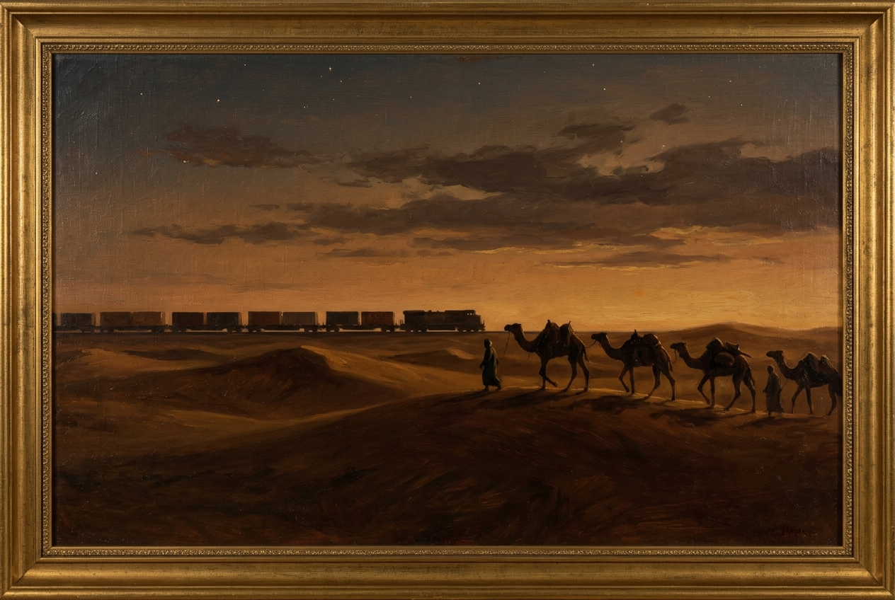
The Silk Road was a shifting network of overland and maritime routes rather than a single road, and it did not close so much as change carriers. The same corridors that suited camels still suit containers and freight trains, because the constraints are geographic: passable ground, water, and a small number of narrow places everything must pass through.
The phrase itself is modern. The German geographer Ferdinand von Richthofen coined Seidenstrasse in the 1870s, long after the caravans. Nobody loading silk in Chang'an thought they were on the Silk Road, because there was no road and silk was only one of the goods.
What existed was a network: overland corridors threading between deserts and mountains, plus maritime routes across the Indian Ocean, moving in relays. Very few traders travelled the whole distance. Goods changed hands, prices multiplied, and ideas travelled with them, which turned out to be the more consequential cargo.
The network was never one road
Look at the terrain and the routes explain themselves. The Taklamakan desert forced traffic into northern and southern arcs of oases. The Pamir and Tian Shan mountains funnelled crossings into a handful of passes. Central Asian cities such as Samarkand and Merv grew rich not from producing much but from sitting where the passable ground narrowed.
The sea route did the same job differently, running on monsoon winds between Chinese, Southeast Asian, Indian, Persian and East African ports, and it carried far more tonnage than the camels ever did. Overland traffic dominated luxury goods with high value per weight. Bulk moved by water, as it always has.
What actually travelled
- Silk, obviously, but also spices, glass, horses, paper, gunpowder, ceramics, cotton, sugar and enslaved people.
- Technologies, including paper making, which reached the Islamic world after the eighth century and Europe centuries later, transforming both.
- Religions. Buddhism moved along the corridor into China, and Islam later spread along the same commercial arteries. Trade routes are the main way beliefs cross deserts.
- Disease. The plague pandemics of the sixth and fourteenth centuries travelled the same connections, which is the standing lesson that networks carry everything, not only what you want.
- Money and credit instruments, since long-distance trade needs someone willing to be paid later.
Why the story of it closing is misleading
The usual account says the Ottoman capture of Constantinople in 1453 shut the eastern trade and pushed Europeans to sail around Africa. That is tidier than the truth. Ottoman rulers wanted trade revenue and did not seal the routes, and Venetian and Genoese commerce continued under new terms. What changed was cost, control and who collected the margin.
The deeper shift was maritime economics. Once a Portuguese carrack could carry more pepper than a caravan and answer to fewer intermediaries, the sea route won on price rather than on politics. Land corridors did not close, they were outcompeted. Our collection The Day the Middle Ages Ended follows the 1453 story and what it did and did not cause.
The same corridors, new carriers
Modern freight maps rhyme with medieval ones because the constraints have not moved.
| Ancient corridor | Modern equivalent | Constraint that persists |
|---|---|---|
| Oasis routes around the Taklamakan | Rail and road corridors through Xinjiang | The desert is still not crossable in the middle |
| Persian overland arteries | Iran and Caucasus transit routes | Mountains funnel traffic into the same gaps |
| Bosphorus crossings | Turkish straits shipping and Istanbul rail links | One narrow water link between two seas |
| Red Sea and Indian Ocean monsoon trade | Suez Canal and Gulf shipping lanes | The shortest Europe to Asia sea path |
| Malacca and Sunda passages | Strait of Malacca container traffic | Archipelago geometry offers few gates |
Those narrow places matter disproportionately, which is the whole subject of chokepoints, five narrow waterways that quietly run the world economy.
Rail, and the return of the overland option
Since the 2010s, container trains have run between China and Europe across Kazakhstan, Russia, Belarus and Poland, or on southern routes through the Caucasus and Turkey. The economics sit between the two older modes: faster than sea, cheaper than air, and viable for goods where several weeks of shipping time carries a real cost, such as electronics and car parts.
The volumes remain small next to maritime freight, which still moves the overwhelming majority of world trade by weight. But the pattern is old and familiar: overland corridors carry the high-value, time-sensitive fraction, and water carries the bulk. That division of labour is roughly two thousand years old.
Rail also inherits the old vulnerability. An overland route crosses sovereign territory, so it depends on the politics of every state along it in a way a sea lane does not. That is why route choices shift with sanctions, wars and transit fees, and why the Caucasus corridor gained attention when the northern one became complicated.
Three durable lessons
- 1Geography sets the menu, politics picks from it. Governments can raise or lower the cost of a route, but they rarely invent a new one where the terrain refuses. More on that in why geography still decides more than politicians do.
- 2Intermediaries capture the value. Samarkand, Venice, Singapore, Dubai and Rotterdam are all the same business model: control a narrowing and charge for passage.
- 3Networks are indifferent to intent. The connections that carried paper and Buddhism also carried plague, and modern supply chains transmit shocks with the same neutrality.
The short version
There was never a Silk Road, and it never closed. There was a set of places where the ground and the water allowed movement, and there still is. The camels became carracks, the carracks became container ships, and a share of the traffic is now on trains through the same passes. The map barely changed.
Trade routes are not built. They are the places where the world lets you through, and someone charges you for it.
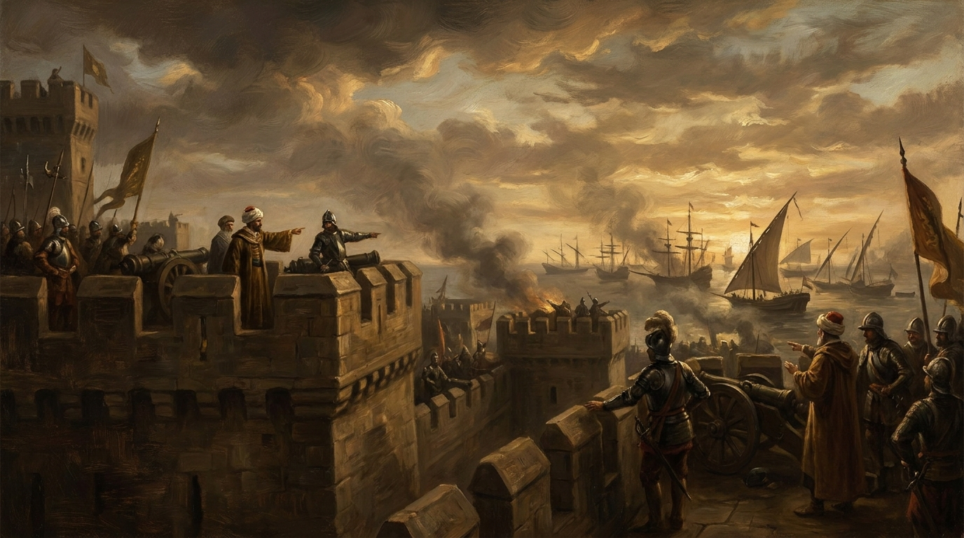
Disclosure: MindSnap is our app, and this is the kind of thread it is built for: one two-minute chapter a day, plus unlimited topics. If you would rather make the decisions than read about them, Turning Points puts you in Constantinople in 1453 with the walls in front of you.
Frequently asked questions

One snap tomorrow morning.
Two minutes in art, history, psychology, philosophy or economics, then the app tells you you're done.
Get MindSnap on iOSFree daily fact, forever. Pro is $9.99/month or $44.99/year.