Chokepoints: 5 Narrow Waterways That Quietly Run the World Economy

Arts & History Editor
Last updated: August 2026
10 min read
TL;DR
Most seaborne trade funnels through a handful of narrow passages. The Bosphorus links the Black Sea to the Mediterranean, Suez saves ships a trip around Africa, Hormuz is the only exit from the Gulf, Malacca is the shortest route between the Indian and Pacific Oceans, and Panama cuts the Americas in half. Their importance is a matter of geometry, which is why it does not change with the news.
Look at a shipping-density map and the oceans are not evenly used. Traffic braids itself into thin bright lines, and those lines squeeze through a small number of gaps between landmasses. This article is about the five that matter most, treated as geography and economics rather than current affairs.
One clarification before we start. A chokepoint is not important because someone declared it strategic. It is important because there is no cheap alternative route, and the alternative that does exist costs days of sailing, extra fuel and additional insurance. Everything else follows from that.
1. The Bosphorus: the strait that made a city an empire
The Bosphorus is roughly thirty kilometres long and at its narrowest under a kilometre wide, and it is the only sea route between the Black Sea and the Mediterranean. Grain, oil and steel from the Black Sea basin all leave this way. The strait runs through the middle of Istanbul, so large vessels navigate a winding urban channel with a strong surface current.
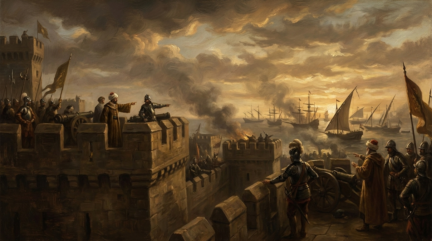
Its geography explains a lot of history. A city sitting on this strait controls the traffic between two seas and two continents, which is why Constantinople was worth eleven centuries of siege attempts and why its fall in 1453 reorganised European trade. That story is our history collection, The Day the Middle Ages Ended.
Passage today is governed by the 1936 Montreux Convention, which guarantees civilian transit and constrains warship movements. It is one of the older international agreements still doing daily work.
2. The Suez Canal: 6,000 miles of shortcut
Opened in 1869, Suez connects the Mediterranean to the Red Sea, letting ships move between Europe and Asia without rounding the Cape of Good Hope. The saving on a Europe-to-Asia voyage is roughly 6,000 nautical miles and one to two weeks depending on the route and speed.
Roughly a tenth of world seaborne trade normally passes through it, including a large share of Europe's container imports. The canal has no locks, which makes transit relatively fast, but it is a single channel for much of its length with a second lane on part of the route.
When Suez is unavailable, nothing stops. Ships go around Africa instead, arriving later and burning more fuel. The 2021 grounding of a container ship in the canal held up hundreds of vessels within a week, which is a useful demonstration of how little slack the system carries.
3. The Strait of Hormuz: the only door out of the Gulf
Hormuz sits between Oman and Iran, about thirty-three kilometres wide at its narrowest, with shipping lanes narrower still. Every tanker leaving Saudi Arabia, Iraq, Kuwait, Qatar, the UAE and Iran passes through it. It is consistently described by energy analysts as the world's most important oil transit chokepoint, carrying a fifth or so of global petroleum liquids consumption.
The reason it cannot be bypassed easily is that pipelines are the only alternative and their capacity is a fraction of tanker volumes. That asymmetry, not any particular government, is what makes the strait structurally significant.
4. The Strait of Malacca: the Asian funnel
Between Sumatra and the Malay Peninsula, Malacca is the shortest sea route between the Indian and Pacific Oceans, narrowing to about 2.8 kilometres at the Phillips Channel. Tens of thousands of vessels transit annually, carrying a very large share of the oil and manufactured goods moving between the Middle East, East Asia and Europe.
Malacca also explains Singapore. A port at the end of the funnel becomes a refuelling, transhipment and financial centre almost automatically, which is the clearest modern example of geography producing wealth. Alternative routes exist through Indonesian straits, but they add days and cannot absorb the volume.
5. The Panama Canal: the continent split in two
Opened in 1914, Panama connects the Atlantic and Pacific, saving a voyage around Cape Horn. Unlike Suez it uses locks, lifting ships about twenty-six metres to a freshwater lake and down again, which is why its capacity depends on rainfall. Drought years reduce the number of daily transits, and 2023 and 2024 showed exactly that effect.
It matters most for trade between the east coast of the Americas and Asia, and for grain and container routes that would otherwise take an extra fortnight. It is also the one major chokepoint whose bottleneck is a weather variable rather than a border.
What chokepoints have in common
| Chokepoint | Connects | Narrowest point | Main cargo |
|---|---|---|---|
| Bosphorus | Black Sea, Mediterranean | Under 1 km | Grain, oil, steel |
| Suez | Mediterranean, Red Sea | Canal channel | Containers, oil |
| Hormuz | Persian Gulf, Arabian Sea | About 33 km | Crude oil, LNG |
| Malacca | Indian, Pacific Oceans | About 2.8 km | Oil, manufactured goods |
| Panama | Atlantic, Pacific | Lock chambers | Containers, grain |
- They are all products of geometry. Two large water bodies, one narrow gap, no cheap alternative.
- Their alternatives exist but cost time. Around Africa, around South America, around Indonesia. Time is the whole cost structure of shipping.
- They concentrate risk without concentrating control. Most are governed by treaties, coastal-state regulation and the practical need for traffic to keep moving.
- They generate cities. Istanbul, Singapore, Panama City, Dubai. Ports at bottlenecks become more than ports.
- They are why freight rates move on news that seems distant from your shopping.
Why this is worth knowing
Because it makes a whole category of news legible. When shipping rates jump or a delivery window slips by two weeks, the explanation is usually a narrow strip of water and a longer route around it. Geography is the slowest-moving force in economics, and once you can see it, the rest of the story gets simpler. That argument continues in why geography still decides more than politicians do.
Trade routes are not drawn by treaties. Treaties are drawn around trade routes.
Frequently asked questions


One snap tomorrow morning.
Two minutes in art, history, psychology, philosophy or economics, then the app tells you you're done.
Get MindSnap on iOSFree daily fact, forever. Pro is $9.99/month or $44.99/year.