Why Geography Still Decides More Than Politicians Do

Learning Science Writer
Last updated: August 2026
10 min read

TL;DR
Geography does not determine what a country does, but it sets the menu. Navigable rivers make trade cheap, mountains make borders defensible and unification expensive, harbours make cities rich, and flat open corridors make invasion a recurring national memory. Leaders choose within those constraints, which is why some national behaviours persist across centuries and regimes.
Elections change ministers. They do not move a mountain range, deepen a river, or give a landlocked country a coast. That is the simple observation behind geographic realism: a state's options are constrained by terrain it did not choose, and those constraints outlast every government that inherits them.
This piece is a neutral primer. It is not an argument that geography excuses any particular policy, and it is deliberately not about current disputes. Determinism is the failure mode here: geography narrows the choices, it does not make them.
Rivers decide who gets rich cheaply
Moving goods over water has always been dramatically cheaper than moving them over land. Before railways the ratio was extreme, and even now bulk shipping is the cheapest freight in existence. So the first geographic advantage is navigable water reaching inland.
The American Midwest is the textbook case: the Mississippi system connects an enormous agricultural interior to an ocean port, so grain grown a thousand miles inland reaches world markets cheaply. Northern Europe's rivers do something similar on a smaller scale, which helps explain why the Rhine corridor has been economically dense for a very long time. By contrast, much of Africa's interior is separated from its coasts by rapids and escarpments, which raises the cost of every ton moved and has done so since long before any modern border existed.
Add one more mechanism: rivers as capital. A country with navigable rivers can spend on other things, because the transport network arrived free. A country without them has to build it, and pay to maintain it forever.
Mountains make borders, and make unity expensive
Mountain ranges do two things at once. They protect, which is why Switzerland's independence and Nepal's persistence between two giants are not accidents. And they fragment, which is why mountainous regions tend to hold many languages, dialects and long-lived local identities.
The Balkans, the Caucasus and Papua New Guinea all show the same pattern: broken terrain, high linguistic diversity, and a long history of local autonomy resisting central rule. Governing across mountains costs more per citizen, so states there have historically been either loose or coercive, rarely cheap and uniform.
Flat land remembers invasions
The North European Plain runs from France to the Urals with almost no natural barrier. Armies have crossed it in both directions for centuries, and the states along it have developed strategic cultures shaped by that fact: large standing forces, an interest in buffer territory, and a persistent preoccupation with what sits between them and the next open corridor.
You do not have to endorse any of those responses to notice the pattern. A country with a defensible frontier and a country with an open one will develop different instincts, and those instincts persist across regime changes because the terrain does.
Harbours and chokepoints turn location into income
A deep, sheltered, ice-free harbour near a major trade route is one of the most valuable things a coastline can have. Singapore, Rotterdam, Istanbul and Dubai all convert position into revenue: cargo has to pass nearby, so servicing it becomes an industry, and the finance, insurance and legal services follow the cargo.
Conversely, warm-water access has been a strategic objective for northern states for centuries, because ports that freeze are ports that stop. The five passages in our chokepoints explainer are the clearest single illustration of geography setting economic terms.
Resources are geography with a delay
Coal near iron near water produced the first industrial regions, because moving heavy inputs was the binding constraint. Later, oil rewrote which deserts mattered. Today lithium, copper and rare earth deposits are doing something similar for supply chains.
The important nuance is that resources are not automatically an advantage. Concentrated, easily taxed resource wealth can weaken the incentive to build broad institutions, a pattern economists call the resource curse. Geography deals the hand; institutions decide whether it is played well.
What geography does not explain
- Prosperity. Similar terrain has produced very different outcomes across history, which is why institutional explanations matter alongside geographic ones.
- Culture. Terrain shapes constraints, not values, and mapping national character onto landscape is where this kind of analysis usually goes wrong.
- Inevitability. Nothing in the ground made any specific war or treaty happen. It made some options cheaper than others.
- Permanence of costs. Technology repeatedly rewrites the map: railways devalued rivers, refrigeration changed which farmland mattered, and undersea cables made an island a data hub.
How to read a map like an analyst
- 1Find the water. Which rivers are navigable, and do they reach the sea inside the same country?
- 2Find the barriers. Where would an army be forced to go, and where would a road cost ten times as much?
- 3Find the ports. Are they deep, sheltered, and near a route ships already use?
- 4Count the neighbours on open ground. Every open frontier is a permanent line item in a defence budget.
- 5Ask what changed recently. New canals, new pipelines, new cable landings and melting sea routes all reprice a location without moving a single border.
Why this belongs in a learning habit
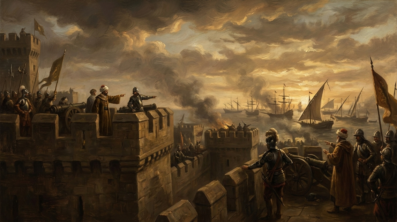
Geographic constraints are the slow variables in the news. Once you know them, individual events stop looking random and start looking like responses to a fixed board. It is also unusually retellable knowledge, which makes it good daily material, and it pairs naturally with narrative history such as The Day the Middle Ages Ended, where a single strait decides the fate of an empire.
Politicians choose the moves. Geography chose the board, and it does not get a vote.
Frequently asked questions

One snap tomorrow morning.
Two minutes in art, history, psychology, philosophy or economics, then the app tells you you're done.
Get MindSnap on iOSFree daily fact, forever. Pro is $9.99/month or $44.99/year.