Ports, Straits and Pipelines: How to Read a Geopolitical Map

Learning Science Writer
Last updated: August 2026
9 min read
TL;DR
Most people read a map for the shapes of countries, but the features that actually explain power and conflict sit underneath that: narrow water passages, mountain ranges, river mouths, pipeline routes and the handful of ports that everything else depends on. Learning to notice these five or six categories turns a flat, decorative map into something closer to a working explanation of why states behave the way they do. None of this requires special training, just a habit of asking what would happen if a particular line on the map were blocked or contested.
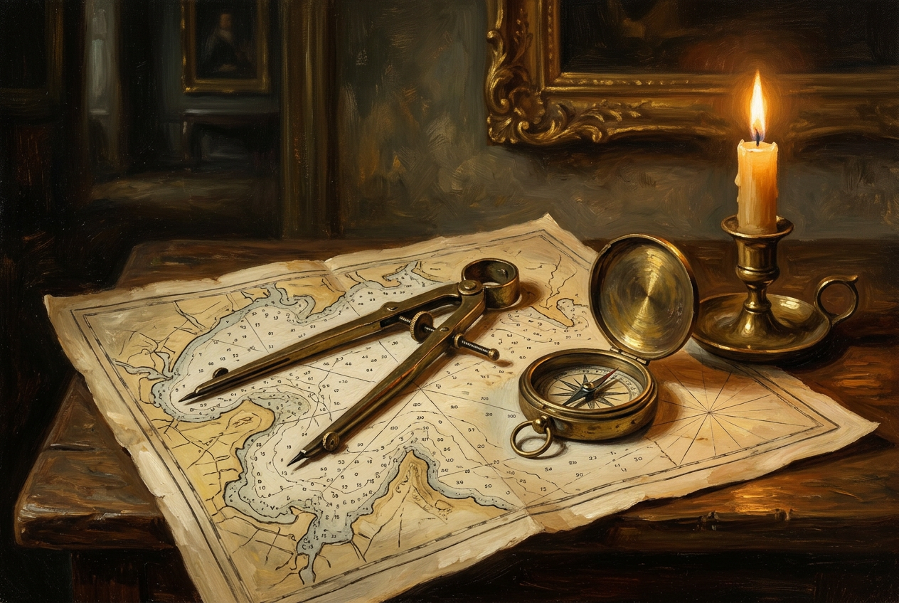
A political map, the kind with each country shaded a different colour, is designed to answer one question: whose flag flies where. That is a useful question, but it is also the least interesting thing a map can tell you. The far more useful map, the one intelligence analysts and shipping companies actually study, is built around a different set of features: where water narrows, where land rises, where a pipeline runs, and where a handful of ports handle a disproportionate share of everything that moves. Once you know what to look for, an ordinary map starts explaining current events instead of just illustrating them.
Start with water, not land
The first habit worth building is to stop looking at coastlines and start looking at where the sea narrows. Wide open ocean is, for strategic purposes, mostly irrelevant: nobody can block the middle of the Pacific. What matters is the small number of places where a shipping lane is squeezed down to a channel a few miles wide, because those points can be watched, taxed, mined or closed in a way that open water cannot. The Strait of Hormuz, the Strait of Malacca, the Bab el-Mandeb and the Bosphorus are the classic examples, and each has, at some point, been the site of real military tension precisely because of that narrowness. We cover these in detail in our piece on maritime chokepoints, which is worth reading alongside this one.
A related habit is to look at where a country's coastline actually gives it useful access to open water, rather than just any water. A long coastline on an enclosed or ice-bound sea is a very different asset from a short coastline directly on a major shipping route, which is one reason so much of Russian naval strategy over the centuries has focused on securing warm-water ports with unimpeded access to the open ocean.
Then look at where rivers meet the sea, and where they meet each other
River mouths concentrate trade the way narrow straits concentrate shipping, and for similar reasons: a huge inland drainage area funnels through one relatively small outlet. The city that sits at that outlet, whether it is Rotterdam at the mouth of the Rhine or New Orleans on the Mississippi, tends to acquire an economic and political importance well out of proportion to its size, because whoever controls that point effectively taxes or channels the productivity of an entire interior region. Our longer piece on rivers and empires works through several of these cases in detail, from the Nile to the Yangtze, and is a good companion to this guide if river geography interests you.
Confluences, where two rivers join, deserve the same attention as coastal river mouths. They tend to be where early cities formed, because a garrison stationed at the junction could tax traffic on two routes rather than one, and that same logic often still shapes modern transport and trade networks.
Read the mountains as borders that actually work
Not all borders are equal, and elevation is usually the reason why. A border running along a river, as noted elsewhere, tends to be contested because communities on both banks share the same water and often the same culture and trade. A border running along a mountain range tends to be far more stable, because mountains are genuinely difficult to move an army across, difficult to settle densely on either side of, and difficult to dispute in the way a shifting river channel can be disputed. When you see a long, quiet, rarely-renegotiated border on a map, a mountain range sitting along it is a reasonable first guess.
- Mountain borders: usually stable, because terrain itself does the enforcing.
- River borders: often disputed, because the water unites daily life on both banks even while a map treats it as a dividing line.
- Straight-line borders across open terrain: frequently the product of colonial-era treaties drawn without much reference to the people living there, and a common source of later ethnic or resource disputes.
- Coastal borders extending out to sea: increasingly contentious as undersea resources and fishing rights become more valuable, particularly in places like the South China Sea.
Follow the infrastructure that does not show up on a political map
Pipelines, undersea cables and rail corridors rarely appear on the maps most people grow up with, yet they explain a great deal of modern geopolitical behaviour. A pipeline route can make two otherwise unfriendly states quietly dependent on each other, or it can make a transit country, one the pipeline merely crosses rather than starts or ends in, into an unexpectedly important actor in a dispute between two larger neighbours. The same logic applies to undersea internet cables, which cluster at a surprisingly small number of landing points worldwide, and to rail corridors built specifically to move a particular country's freight without touching a rival's territory.
| Feature | Why it matters | Question to ask |
|---|---|---|
| Narrow straits | Chokepoints for global shipping | What happens to trade if this closes? |
| River mouths | Concentrate an interior region's trade at one point | Who controls the port at the outlet? |
| Mountain ranges | Natural, durable borders | Does the terrain enforce this border, or does a treaty? |
| Pipelines and cables | Create dependency that is invisible on a political map | Who is a transit country here, and what leverage does that give them? |
| Ports and rail hubs | A small number of nodes carry disproportionate traffic | What is the single point of failure in this trade route? |
Ports: the nodes everything else depends on
If straits are the narrow doors of global trade, ports are the rooms behind them, and a small number of ports handle a share of world shipping volume disproportionate to their size. This matters for two practical reasons. First, disruption at a major port, whether from labour action, storms or accidents, tends to ripple through supply chains far beyond the country that owns the port. Second, ownership and investment in major ports has itself become a geopolitical tool: foreign investment or long-term leases in strategically located ports are now routinely scrutinised by governments precisely because control of a node can translate into leverage over trade that never even touches the investing country's own shores.
Why this habit is worth building
None of this requires specialist training or classified information; almost everything described above is visible on a good physical map paired with a bit of curiosity about trade and infrastructure. The habit that matters is asking, for any region in the news, what would happen if a particular strait, port, pipeline or mountain pass were closed or contested, because that question usually points straight at why the region is in the news in the first place. Maps reward exactly this kind of literal, mechanical reading far more than they reward memorising which colour belongs to which country.
Disclosure: MindSnap is our app, built around five flagship story collections, Art, History, Psychology, Philosophy and Economics, plus unlimited further topics, delivered in short daily sessions. Geopolitics is one of the recurring threads inside that rotation, told in the same short, two-minute format as everything else, and if this kind of map literacy interests you, our topics page has more of the same alongside collections like The Day the Middle Ages Ended for readers who enjoy the history side of these questions as much as the geography.
Frequently asked questions

One snap tomorrow morning.
Two minutes in art, history, psychology, philosophy or economics, then the app tells you you're done.
Get MindSnap on iOSFree daily fact, forever. Pro is $9.99/month or $44.99/year.