Mountains as Borders: Why the Alps, Himalayas and Pyrenees Still Matter

Arts & History Editor
Last updated: August 2026
9 min read
TL;DR
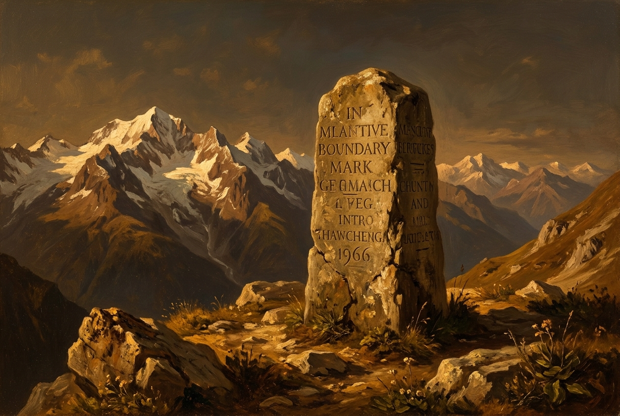
Mountain ranges have historically made more durable political borders than rivers, largely because they are genuinely hard to cross rather than merely easy to draw on a map. The Alps, Himalayas and Pyrenees each show how a small number of passes concentrate trade, armies and control into narrow chokepoints, and why states that formed in the mountains, from Switzerland to Nepal to Andorra, developed differently from their lowland neighbours.
A river looks like a clean border and often is not one, because people on both banks share the same water and the same trade route. A mountain range works the other way round. It looks like a messy, jagged line, but in practice it tends to make one of the more durable borders available to states, precisely because crossing it is slow, costly and limited to a small number of routes. Geography rarely settles political questions on its own, but mountains come closer than most terrain to doing real, independent work.
Why height, not just distance, is the barrier
The obstacle a mountain range presents is not simply the horizontal distance across it, but the vertical effort, the altitude sickness risk above roughly 2,500 to 3,000 metres, the weather that can close a pass for months at a time, and the sheer difficulty of moving an army, a herd or a laden cart uphill rather than along a flat road. A journey that looks short on a map can take days longer and far more in supplies than the same distance across open ground. That asymmetry between map distance and real difficulty is what gives mountain borders their staying power.
The Alps: passes as the whole story
For most of European history, crossing the Alps meant choosing one of a limited number of passes, the Brenner, the Great St Bernard, the Simplon, the Mont Cenis, and few others, and each pass town grew rich, or at least stayed relevant, by controlling movement through it. Hannibal's crossing of the Alps in 218 BCE remains famous precisely because it was an extraordinary logistical feat, not a routine journey; armies and traders after him kept overwhelmingly to the known passes rather than repeating his gamble.
That handful of passes is also a large part of why Switzerland exists in its current form. The original core cantons that founded the Swiss Confederacy in the late thirteenth century controlled the approaches to the Gotthard Pass, one of the most important north-south routes across the Alps, and that control gave small mountain communities real leverage over trade between Italy and the German lands, leverage well beyond what their population or farmland would otherwise suggest.
The Himalayas: the tallest border in the world
No mountain system illustrates the barrier effect more starkly than the Himalayas, which separate the Indian subcontinent from the Tibetan plateau along a line that includes the highest peaks on Earth. For centuries this was less a single border than a vast buffer zone, crossed by traders and pilgrims through specific high passes rather than treated as an open frontier. Nepal and Bhutan developed as distinct states largely because the terrain let them, sitting in the Himalayan foothills between larger powers without being fully absorbed by either.
The modern China-India border running through this range remains only partly and informally demarcated in places, and the difficult, high-altitude terrain is itself part of why disputed sections have persisted without full resolution for decades. The mountains did not settle the border on their own, but they shaped where dispute was even possible, largely limiting friction to a small number of accessible valleys and passes rather than a long open line.
The Pyrenees: a border that has barely moved
The Pyrenees between France and Spain have marked essentially the same national boundary since the Treaty of the Pyrenees in 1659, a striking degree of stability compared with most of Europe's other borders over the same period. Only a small number of routes, including the Roncesvalles pass associated with the medieval Song of Roland, and the Somport pass further east, made large-scale crossing practical, which limited the opportunities for either side to contest the line by force.
The range also produced Andorra, a tiny state wedged between two much larger neighbours that has survived for centuries in part because the mountains around it made annexation more trouble than it was worth for either France or Spain.
Why mountain states tend to look different
- They are harder to conquer and hold, since occupying force struggles with the same terrain that slows everyone else down.
- They often develop strong local or cantonal governance, because central authority historically found it difficult to project power evenly across isolated valleys.
- They rely heavily on a small number of trade routes, giving disproportionate importance to the towns that sit on them.
- They tend to preserve linguistic and cultural diversity longer than lowland regions, since valleys can remain relatively isolated from each other for centuries.
Four ranges compared
| Range | Key passes or routes | Political effect | Still relevant today |
|---|---|---|---|
| Alps | Gotthard, Brenner, Great St Bernard | Helped found and sustain Swiss independence | Major transit routes for European road and rail freight |
| Himalayas | Nathu La, Zoji La, and other high passes | Buffer states of Nepal and Bhutan; long-unresolved border sections | China-India border tension in accessible valleys |
| Pyrenees | Roncesvalles, Somport | One of Europe's most stable long-term borders since 1659 | Still France-Spain border; sustains Andorra |
| Caucasus | Darial Gorge and other historic routes | Fragmented the region into many distinct peoples and states | Continues to divide a linguistically diverse region |
Passes as chokepoints, then and now
A mountain pass functions much like the narrow sea straits covered in our piece on maritime chokepoints: a forced, predictable route that whoever controls it can tax, defend or close. Modern infrastructure has softened this somewhat, tunnels like the Gotthard Base Tunnel and improved roads have made some historic passes far less decisive than they once were, but the underlying logic has not disappeared. Military planners, trade negotiators and infrastructure ministries still think in terms of the same handful of viable routes that traders and armies relied on centuries ago, because the mountains have not moved even if the technology crossing them has improved.
None of this means mountains guarantee peace or stability on their own. Difficult terrain has sheltered plenty of conflicts as well as prevented others, and isolation can entrench old disputes as easily as it discourages new ones. What mountains reliably do is concentrate where contact happens, and that concentration, more than the height of any single peak, is why these ranges have shaped states so consistently across very different parts of the world.
Disclosure: MindSnap is our app, built around five flagship story collections, Art, History, Psychology, Philosophy and Economics, plus unlimited further topics, delivered in short daily sessions. If this kind of geography interests you, our geography and power piece covers the wider theme, and you can browse our full range of topics for more of the same kind of two-minute thinking.
Frequently asked questions
One snap tomorrow morning.
Two minutes in art, history, psychology, philosophy or economics, then the app tells you you're done.
Get MindSnap on iOSFree daily fact, forever. Pro is $9.99/month or $44.99/year.