How Ocean Currents Shaped World Trade

Learning Science Writer
Last updated: August 2026
9 min read
TL;DR
Before engines, a sailing route was whatever the wind and current allowed, which is why outbound and return legs almost never followed the same path. The great ocean gyres produced the volta do mar, the Manila galleon loop across the Pacific and the triangular Atlantic circuits, while the Gulf Stream and westerlies kept northern European ports usable and well connected. Steam loosened the constraint without erasing it: coaling stations, canal placement and modern weather routing all still trace the ocean's circulation.
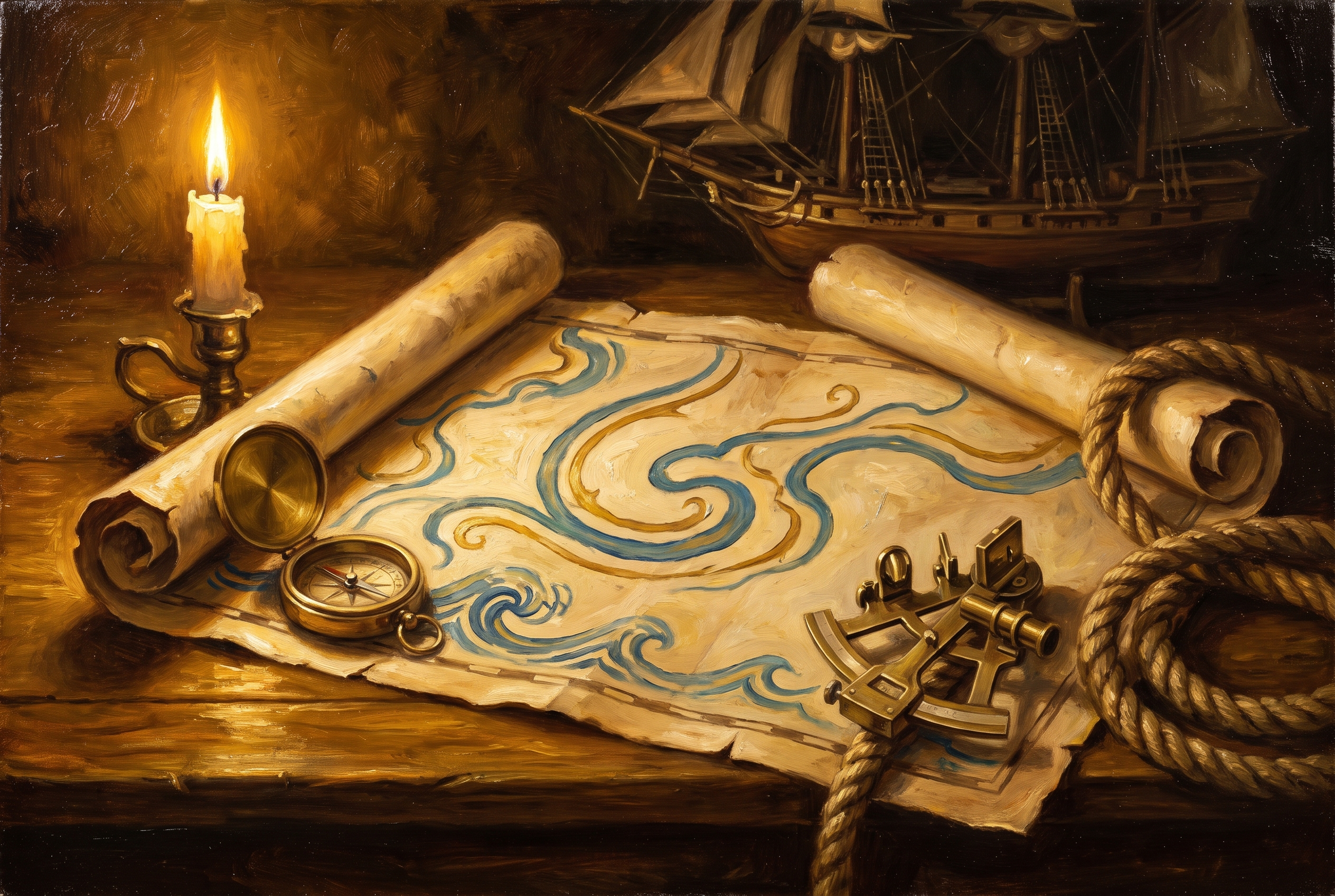
A sailing chart from the seventeenth century looks strange to a modern eye, because the outbound and homebound tracks between the same two ports are often nowhere near each other. Sometimes they are a thousand miles apart. This is not imprecision. It is the ocean telling ships where they were allowed to go.
The circulation of the atmosphere and the sea is the oldest structural force in trade. It predates every treaty, it changes on a timescale of millennia rather than elections, and it explains a surprising amount about which cities became wealthy and which sea lanes still carry the world's cargo.
The machine: gyres and trade winds
Sunlight heats the tropics unevenly, the planet rotates, and the result is a set of large, stable circulating systems. In each major ocean basin the surface water turns in a great loop called a gyre, clockwise in the northern hemisphere and anticlockwise in the southern. Above them the wind belts follow a similar order: easterly trade winds in the tropics, a band of calms near the equator, and prevailing westerlies in the middle latitudes.
For a ship without an engine, this is not weather, it is infrastructure. The trade winds are a reliable conveyor running east to west across the tropics. The westerlies are the return lane, running west to east further from the equator. A voyage was planned as a circuit around the gyre rather than a line between two points, because a line between two points might mean weeks of beating into the wind or sitting motionless in the doldrums.
The volta do mar
Portuguese navigators working down the African coast in the fifteenth century ran into the problem directly. Sailing south was easy with the northeast trades behind them. Coming home against those same winds was close to impossible along the coast.
Their solution, the volta do mar, meaning the turn of the sea, was to head away from land into the open Atlantic, sail northwest until they reached the westerlies, and then ride those back towards Iberia. It looks like a detour and it is a considerably longer distance. It was also the only reliable way home, and learning it was arguably a bigger achievement than any single voyage of the period.
That technique made the Atlantic navigable as a system rather than a coastline, and everything afterwards depended on it. It is a good reminder that geographic knowledge is itself a form of power, a theme running through how geography still decides more than politicians do.
The Manila galleon and the Pacific loop
The Pacific version is even more dramatic. From 1565 the Spanish ran an annual galleon route between Acapulco and Manila, and the two legs bore almost no resemblance to each other. Westbound, ships rode the trade winds across the tropics in roughly three months. Eastbound they could not simply turn around.
Instead the return climbed north from the Philippines to pick up the Kuroshio current and the North Pacific westerlies, crossed at high latitude, and came down the coast of California to Acapulco. It was longer, colder and far deadlier, often five or six months, with scurvy the routine cost. The route survived for two and a half centuries because there was no alternative shape available in that ocean.
The Indian Ocean offered a friendlier version of the same logic. Its monsoon reverses seasonally, so a merchant could sail one way in one season and home in the next, provided the timing was right. That rhythm structured trade across the region for centuries and shaped the calendars of the ports involved, as anyone following the spice routes will recognise.
Why the Gulf Stream mattered to northern Europe
The North Atlantic gyre carries warm tropical water up the American coast as the Gulf Stream, then across the ocean as the North Atlantic Drift. The consequence for Europe is a climate substantially milder than its latitude would predict. Ports in Norway sit further north than parts of Greenland and stay usable through winter.
For trade, an ice-free port is not a comfort, it is the difference between a year-round economy and a seasonal one. Combine that with the westerlies delivering ships from the Americas directly into European approaches, and the whole northwestern edge of the continent becomes an unusually well-served terminus. Amsterdam, London, Hamburg and Antwerp grew on the back of a circulation pattern none of them chose.
It also helps explain the Dutch position specifically. A small territory at the receiving end of the Atlantic's return lane, with rivers running inland behind it, is set up to become a hub, which is part of the backdrop to Tulip Fever and the financial machinery that grew around Amsterdam's markets.
What steam changed, and what it did not
The obvious reading is that engines ended all this. A steamship can sail against the wind, so the currents stop mattering. The reality is more interesting: steam replaced one constraint with another.
| Era | Binding constraint | Consequence for routes |
|---|---|---|
| Sail | Wind and current direction | Circular routes, different outbound and return legs |
| Coal steam | Distance between fuel depots | Chains of coaling stations, strategic small islands |
| Oil and diesel | Fuel cost and canal capacity | Great-circle routes, canal dependence |
| Today | Fuel price, weather, schedule reliability | Computer weather routing, seasonal diversions |
Coal-fired ships needed refuelling every few thousand miles, which turned obscure islands and harbours into essential assets and produced a global network of depots. Then the canals arrived. Suez and Panama were cut precisely where the old sailing detours were most expensive, which is why they concentrate so much traffic today and why maritime chokepoints remain the most sensitive points in global logistics.
The currents themselves never stopped counting. Modern operators use weather routing software that plots courses to gain from favourable currents and avoid adverse seas, saving fuel and days on long crossings. A container ship crossing the Pacific still prefers to be pushed rather than opposed. The difference is that it now chooses by margin rather than by necessity.
And the ports the system produced have largely stayed put. Harbours established because a gyre delivered ships to them kept their advantage through steam, containers and rail, which is one of the reasons port cities punch above their weight long after the original reason has faded from view.
Ships did not sail in straight lines because the ocean was never a flat surface. It was a set of moving lanes, and captains learned to use them.
Frequently asked questions
One snap tomorrow morning.
Two minutes in art, history, psychology, philosophy or economics, then the app tells you you're done.
Get MindSnap on iOSFree daily fact, forever. Pro is $9.99/month or $44.99/year.