What Is a Buffer State? Why Some Countries Exist to Keep Empires Apart

Arts & History Editor
Last updated: August 2026
7 min read

TL;DR
A buffer state is a country that sits between two larger rivals and, by existing, keeps their armies from sharing a border. The logic is simple: a shared frontier turns every misunderstanding into a crisis, while a cushion adds distance, warning time and a place for disputes to be settled indirectly. Historically the role has fallen to states whose geography made them hard to swallow and useful to preserve, including Afghanistan during the Great Game, Belgium under its 1839 neutrality, Siam between British Burma and French Indochina, and Uruguay between Brazil and Argentina. The benefits are survival and leverage. The costs are limited freedom of action and a habit of hosting other people's quarrels.
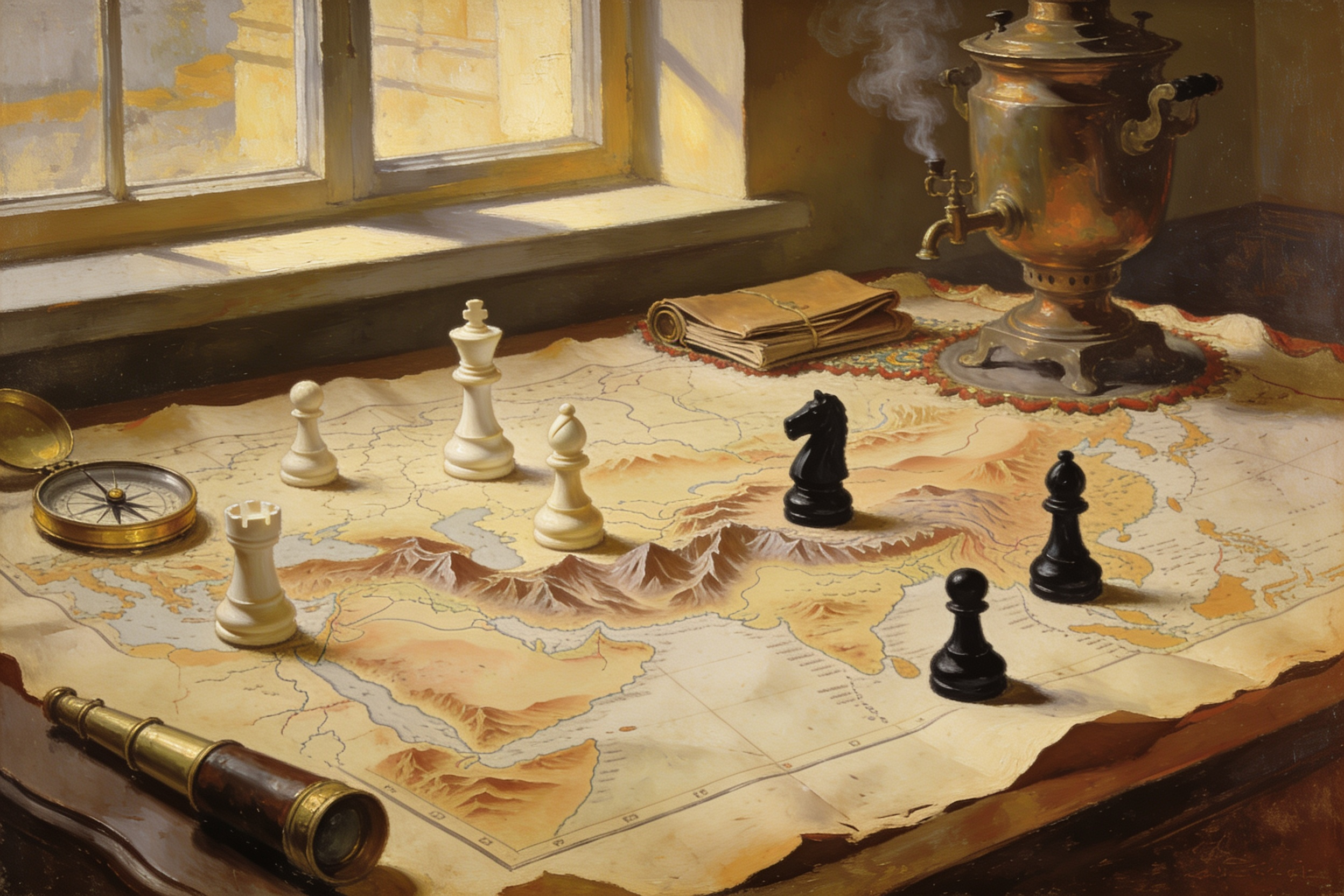
Look at a political map long enough and you start noticing small countries in awkward places: a narrow kingdom between two giants, a neutral strip along a mountain wall, a state whose borders look drawn by committee rather than by geography. Often they were. And often the committee had one purpose, which was to keep two larger powers from touching.
This is the buffer state, one of the most durable patterns in political geography. It appears in the ancient world, in nineteenth century diplomacy and in twentieth century treaty maps, and the reasoning behind it barely changes across those centuries. This piece stays with the historical pattern and the geography that produces it, not with present-day disputes.
The definition, and the logic behind it
A buffer state is a territory lying between two rival powers whose independence is valued, by at least one of those powers, precisely because it prevents a direct frontier. It is not the same as a neutral state, though the two often overlap, and it is not the same as a satellite, though buffers frequently lose autonomy over time.
The strategic argument is about friction. A shared border between armed rivals means constant contact: patrols meeting patrols, smuggling, refugees, minor incidents that require major decisions. Distance dilutes all of that. A buffer adds days of marching, warning time before an advance, and a neutral surface on which disagreements can be handled through diplomacy rather than deployment.
There is also a cheaper reason, which is that direct conquest is expensive and often unnecessary. If a smaller state can be relied on to stay out of a rival's hands, keeping it independent costs subsidies and diplomacy rather than garrisons and casualties. Empires were rarely sentimental about buffers. They were frugal.
Afghanistan and the Great Game
The nineteenth century rivalry between the British and Russian empires across Central Asia produced the textbook case. British India's planners worried less about invasion than about the absence of space, and Afghanistan supplied space in the most inconvenient possible form: high mountains, narrow passes, difficult logistics and a population with a long record of making occupation unaffordable.
The British learned that lesson expensively. The retreat from Kabul in 1842 destroyed a large column in the passes and taught London that holding the country was harder than influencing it. From then on the preferred outcome was an Afghanistan that belonged to neither empire, with its northern boundary eventually fixed by negotiation and a thin corridor drawn deliberately so that Russian and British territory would not meet. Geography did the rest, since an army crossing that terrain arrives late, hungry and visible. The wider rivalry is told as a story in what was the Great Game.
Belgium and guaranteed neutrality
Where mountains are absent, treaties have to do the work. The flat, wealthy, heavily populated ground between France, the German states and the North Sea had been a corridor for invading armies for centuries, which is why the powers of Europe took the unusual step in 1839 of guaranteeing Belgian independence and neutrality collectively.
The point was not affection for Belgium. It was that no great power could tolerate a rival controlling that coastline and those river mouths, and a guaranteed neutral was the cheapest arrangement everyone could accept. It also illustrates the fragility of the model: a buffer created by paper rather than by terrain depends entirely on the signatories continuing to find it convenient, and in 1914 that arrangement failed.
Siam between two empires
Southeast Asia offers the clearest example of a buffer that survived by skilful management rather than luck. By the late nineteenth century Britain held Burma and the Malay states to the west and south, while France was consolidating Indochina to the east. Siam sat between them.
Its rulers, notably Mongkut and Chulalongkorn, pursued a deliberate strategy: modernise the administration, negotiate rather than fight, sign unequal treaties when necessary, and concede peripheral territories to keep the core intact. Both empires found an independent Siam preferable to a shared border with each other. The result was the only state in the region to avoid formal colonisation, achieved partly through geography, partly through diplomacy and partly through the willingness to lose limbs to keep the body.
Uruguay, and buffers beyond Eurasia
The pattern is not European. Uruguay emerged in 1828 from a long contest between Brazil and Argentina over the eastern bank of the River Plate, with British mediation producing an independent state that suited both larger neighbours better than the alternative of one of them holding the estuary outright. Nepal and Bhutan sat similarly between the Himalayan giants. Various small German and Italian states functioned as cushions before nineteenth century unification removed them.
Ancient examples exist too, since the logic predates modern diplomacy: client kingdoms along Roman frontiers were maintained less as friends than as distance, absorbing raids and providing intelligence before legions were needed.
Which geography produces a buffer
Not every small country between two large ones becomes one. Terrain decides a great deal.
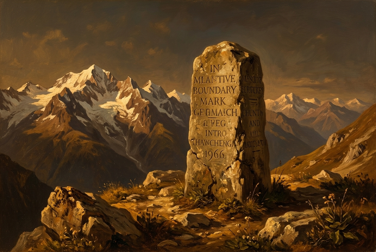
- Mountains and passes favour buffers, because they make occupation costly and channel any advance through a few predictable routes. This is the same dynamic explored in mountains as borders.
- Rivers and estuaries create contested cushions, since control of a river mouth is worth more than the land beside it, which is why buffers cluster around deltas and straits.
- Open plains work against buffers. Flat ground is cheap to cross and cheap to hold, so states there tend to be absorbed rather than preserved.
- Poverty can be protective. A territory with little revenue to extract is not worth garrisoning, while a wealthy one attracts the very annexation the buffer role is meant to prevent.
- Complex borders often mark old bargains, and the odd fragments left behind are covered in enclaves and exclaves.
The costs of the role
Being a buffer is a mixed inheritance. On the credit side, independence survives where it might not have, and a skilled government can extract advantage by playing rivals against one another: subsidies, arms, railways, recognition. Siam's territorial integrity and Afghanistan's persistence both owe something to that leverage.
On the debit side, foreign policy narrows. A buffer that leans too far one way invites the other to act, so genuine alignment becomes difficult and neutrality becomes less a choice than a condition. Internal politics get penetrated by outside money and factions. Infrastructure is built for other people's strategy rather than local development. And when the arrangement collapses, the buffer is where the fighting happens, which is the pattern behind the old observation that these are countries where other nations settle their quarrels.
Why the pattern keeps returning
The reason buffer states recur is that the underlying problem never goes away. Two powers of comparable strength sharing a long border is an unstable arrangement, and space between them is the cheapest stabiliser available. Technology changes the distances involved, but not the preference for a cushion.
What makes the concept worth learning is that it turns a map from decoration into an argument. Once you can spot a cushion, a corridor or a deliberately awkward frontier, a great deal of nineteenth and twentieth century diplomacy becomes legible. If you want to keep pulling that thread, the geography of power is the wider version of this idea, and the interactive historical decisions at Turning Points put you in the position of the people drawing these lines. Disclosure: MindSnap is our app, and those scenarios are part of it.
Frequently asked questions
One snap tomorrow morning.
Two minutes in art, history, psychology, philosophy or economics, then the app tells you you're done.
Get MindSnap on iOSFree daily fact, forever. Pro is $9.99/month or $44.99/year.