What Was the Great Game?

Arts & History Editor
Last updated: August 2026
7 min read
TL;DR
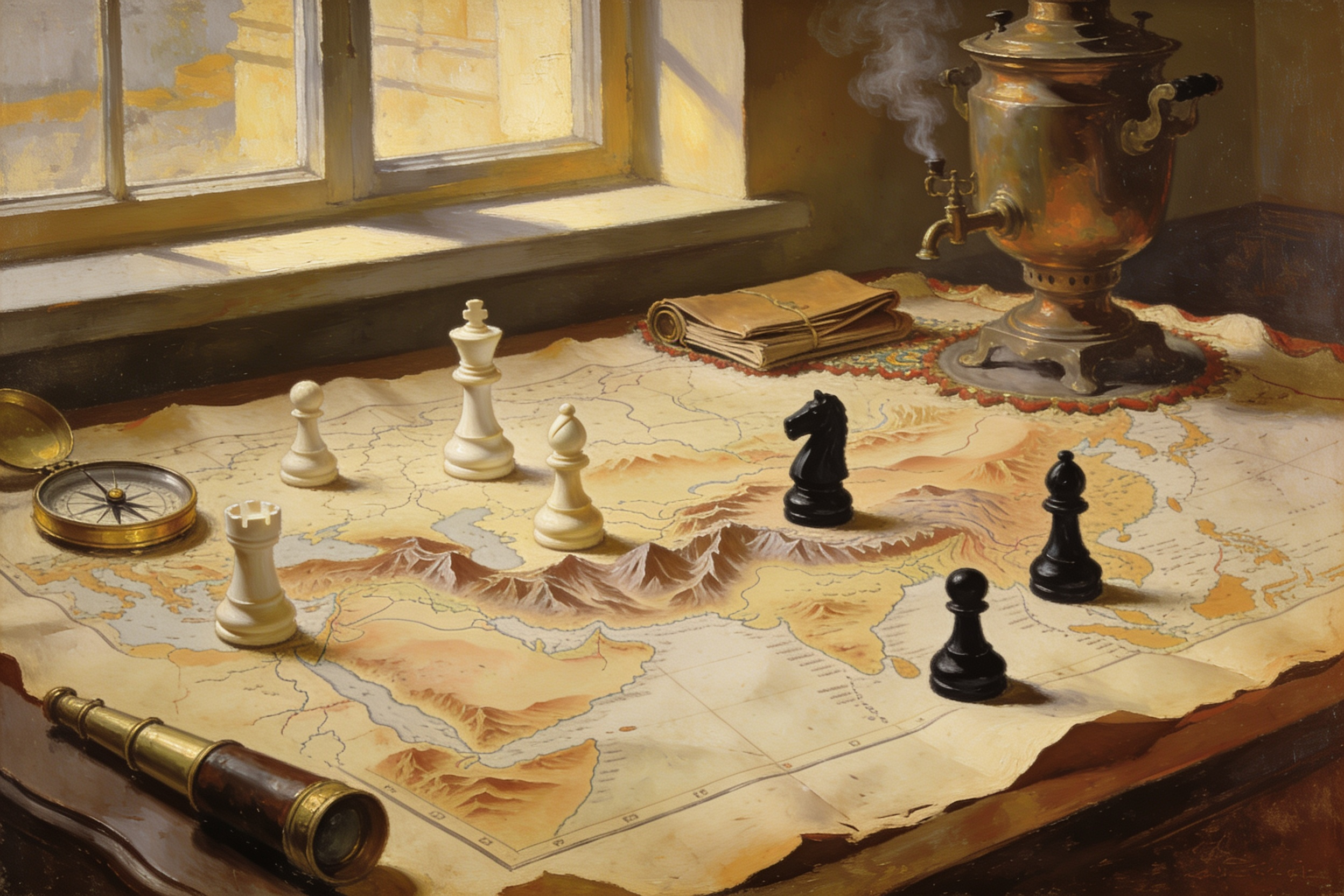
The Great Game is the name given to the nineteenth century contest between the British and Russian empires for influence across Central Asia. Britain feared a land route to India, Russia was steadily absorbing the khanates north of Afghanistan, and between them lay mountains, deserts and a handful of states that suddenly mattered enormously to people who had never seen them. Very little of it involved pitched battles between the two powers. Most of it was survey work, treaty making, bribery and the careers of officers sent to map passes nobody had charted. It ended on paper in 1907, and its real lesson is that geography narrows strategy: the same passes and buffer zones keep reappearing in the calculations of very different empires.
Look at a physical map of Asia with the borders removed and one feature dominates: a wall of mountain and desert running across the middle of the continent, pierced by a small number of usable passes. Almost everything in this story follows from that. Two empires expanding towards each other, one from the north across steppe, one from the south across the plains of India, discovered that the ground between them was both nearly impassable and impossible to ignore.
This is a historical piece, deliberately so. The region is a live subject in modern politics and none of that belongs here. What follows is what happened in the nineteenth century, why the terrain made it happen there, and what the episode still teaches about reading a map.
The geography that set the board
Russian expansion in the nineteenth century moved south and east across the Central Asian steppe, absorbing the khanates of Khiva, Bukhara and Kokand over several decades. Each acquisition was locally logical, driven by trade, security on a frontier and the momentum of military commanders far from their capital. Cumulatively it moved the empire's edge hundreds of miles closer to the mountain barrier.
South of that barrier lay British India, the most valuable possession in the empire and the one whose defence justified almost anything. Between them sat Afghanistan, Persia and the high tangle of the Pamirs and Karakoram. British strategists spent decades asking one question: could an army cross that ground, and if so, where? The honest answer, which many of them reached, was that a full invasion of India overland would be extraordinarily difficult. But strategy rarely waits for the honest answer, and the possibility was enough.
Hence the logic of the buffer state. If Afghanistan could be kept independent but friendly, no rival army would ever reach the passes. That single idea explains most of the century's activity, and the general principle that ranges do political work is one we look at in mountains as borders.
The first Anglo-Afghan war and the retreat from Kabul
The most famous episode of the Great Game is also its clearest demonstration of what happens when strategy on paper meets a landscape. In 1839 a British-led force marched into Afghanistan to install a ruler thought more reliable than the one in place. The occupation held for a while and then unravelled, as occupations of that country repeatedly have, into a hostile capital and untenable supply lines.
In January 1842 a large column of soldiers and camp followers left Kabul for Jalalabad under a negotiated withdrawal. It was mid-winter, the route ran through narrow passes, and the negotiated safety did not hold. The column was destroyed over roughly a week of ambush, cold and disintegration. The detail that fixed the episode in Victorian memory is the arrival at Jalalabad of a single exhausted survivor on horseback, the army surgeon William Brydon. The number who actually got out or were taken prisoner was larger, but the image of one rider was the version that lodged.
The strategic lesson drawn at the time was about the difficulty of holding ground you cannot supply. It was a lesson the same power would have to relearn, and it is a good example of how geography shapes power more stubbornly than intentions do.
Persia, Tibet and the contest for influence
Most of the Great Game was not war. It was influence work in capitals, and the pattern repeated in several places.
- Persia sat astride the western approaches, and both empires courted its court with loans, military advisers and commercial concessions. Influence there was contested for most of the century and eventually carved into spheres by agreement.
- Afghanistan became the central prize, its rulers negotiating with both sides while conceding as little as possible. Its eastern boundary with British India was fixed by a survey commission in the 1890s, drawing a line whose consequences long outlived the empires that drew it.
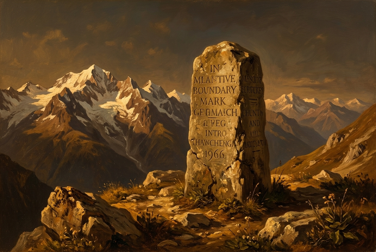
- The Pamir knot, where the mountains of several ranges meet, was mapped and divided by boundary commissions in the 1890s, producing among other things the narrow corridor that keeps two territories from touching.
- Tibet drew British attention at the turn of the century, on the suspicion of Russian influence in Lhasa, leading to a military expedition in 1903 and 1904 that found rather less Russian presence than had been feared.
The everyday texture of all this was survey and reconnaissance. Officers travelled in disguise, took bearings by counting paces and hiding instruments, and produced the first accurate charts of passes that had never been measured. Indian surveyors trained for the work, later known as the pundits, walked routes for months to fix positions. Whatever one thinks of the imperial purpose, the mapping was a genuine feat, and reading those maps is a skill of its own, which is the subject of how to read a geopolitical map.
Why the name stuck
The phrase came from within the enterprise. A British officer of the East India Company, Arthur Conolly, used the expression in correspondence in the 1840s, and it was Rudyard Kipling who carried it into wide public use decades later through his novel Kim, which turned survey work and disguise into adventure.
The name endures because it flatters a messy reality into a clean shape. A game has two players, agreed rules and a board, which is a comforting way to describe decades of uncoordinated decisions by officials who often ignored their own governments, in territories whose own rulers were players rather than squares. It is worth holding the phrase at arm's length for exactly that reason: the Afghan, Persian and Central Asian states in this story pursued their own strategies, sometimes very effectively, and the game metaphor writes them out.
The formal end came in 1907, when the two empires signed a convention settling their spheres in Persia and their positions on Afghanistan and Tibet. The reason was less resolution than redirection: both had larger concerns closer to Europe.
The durable lesson
What is genuinely evergreen here is not the rivalry but the constraint. Passes, watersheds, deserts and coastlines narrow the options available to whoever holds them, and they change on a geological timescale while empires change on a human one. That is why very different powers, with different technologies and ideologies, keep arriving at similar conclusions about the same pieces of ground.
It is also a fine case study in how decisions look from inside. Each step, the annexation of one khanate, the installation of one ruler, the funding of one survey, was defensible on its own terms and contributed to an outcome nobody had chosen. If you enjoy testing your own judgment against that kind of moment, our Turning Points scenarios put you in a real historical decision and ask you to commit before revealing what actually happened. Disclosure: MindSnap is our app.
Frequently asked questions

One snap tomorrow morning.
Two minutes in art, history, psychology, philosophy or economics, then the app tells you you're done.
Get MindSnap on iOSFree daily fact, forever. Pro is $9.99/month or $44.99/year.