What Is the Heartland Theory? Mackinder's Big Idea Explained

Arts & History Editor
Last updated: August 2026
9 min read
TL;DR
In 1904 the British geographer Halford Mackinder argued that the vast interior of Eurasia, which he called the pivot area and later the Heartland, was the most strategically important region on Earth. Protected from sea power and potentially knitted together by railways, it could, he feared, become the base for a power that dominated the world. His later dictum held that whoever ruled Eastern Europe commanded the Heartland, and whoever ruled the Heartland commanded the World Island of Eurasia and Africa. The American scholar Nicholas Spykman replied that the coastal rim around Eurasia mattered more. The theory was enormously influential and is widely criticised, for underrating technology, air power and economics. It is best read today as a historical lens, not a prediction.
On a January evening in 1904, a geographer stood before the Royal Geographical Society in London and offered his audience an unsettling idea. The age of exploration, he said, was over. There was no more empty map to fill. From now on, every shift in power anywhere would be felt everywhere, and the most important piece of the board was one his seafaring countrymen could not reach.
His name was Halford Mackinder, and his paper was titled The Geographical Pivot of History. It became one of the most quoted, and most argued over, texts in the history of geopolitics.
The world as Mackinder saw it
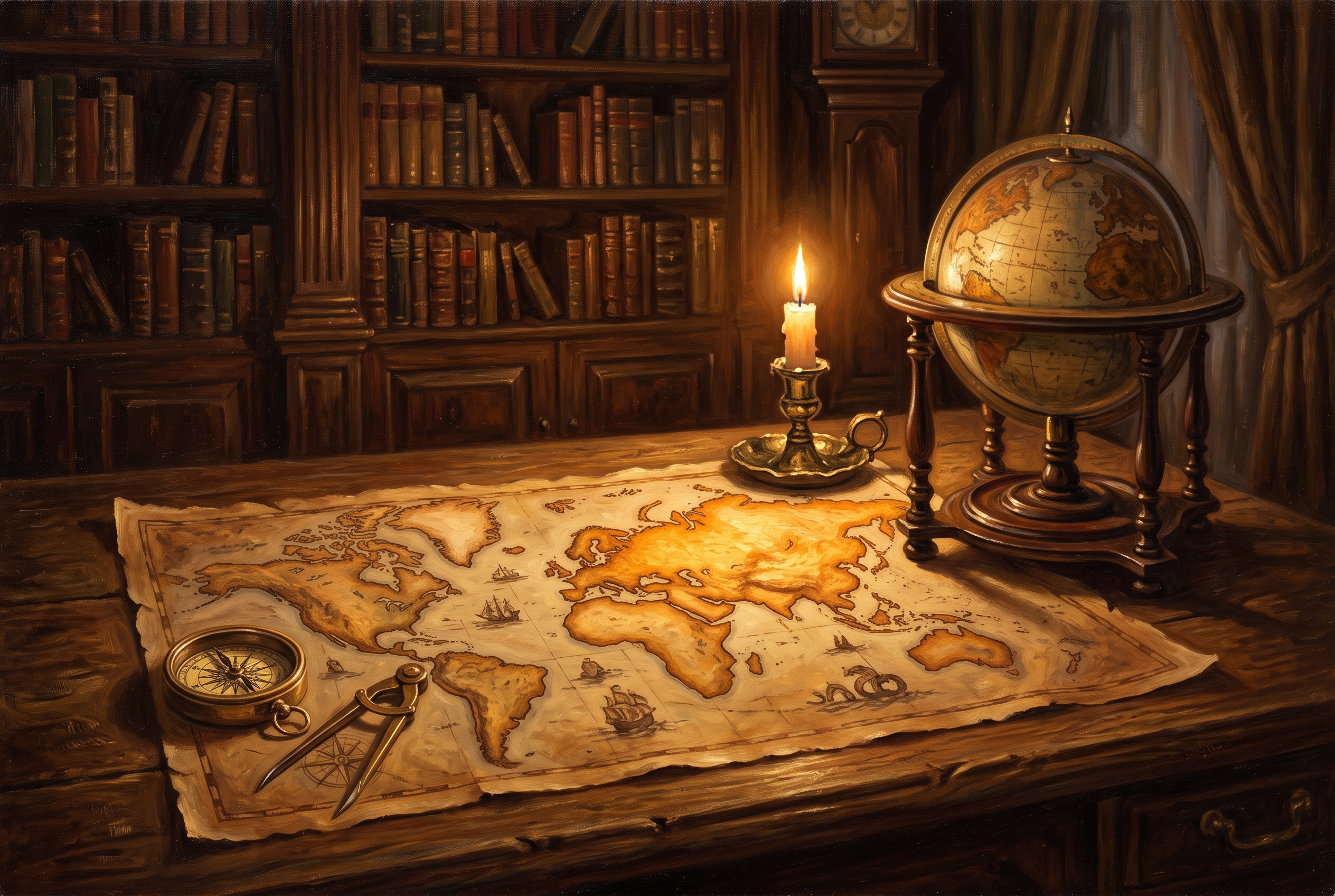
Mackinder began by looking at the globe as a whole. He saw Europe, Asia and Africa as a single enormous landmass, which he later called the World Island. Around it lay the oceans and a scattering of offshore islands and continents, including Britain, Japan and the Americas.
At the centre of the World Island lay a huge region of steppe, forest and plain stretching across northern and central Eurasia. Its great rivers drained into the Arctic or into inland seas, so ships could not sail up them from the open ocean. For centuries, he argued, this interior had been the home of mobile horse peoples whose raids had pressed repeatedly on the settled edges of Europe and Asia. He called it the pivot area.
Rail power against sea power
The heart of the argument was about technology. For roughly four hundred years, since the great voyages of the late fifteenth century, sea power had been king. Maritime states could move goods and soldiers around the coasts of the world faster than any land army could march across it.
Mackinder thought that advantage was ending. Railways, he suggested, could do for the continental interior what ships had done for the coasts. A power that organised the pivot area with rail lines and industry would sit on immense resources, safe from naval attack, able to move force outward in any direction. If such a power also gained access to the sea, it could build fleets of its own and challenge the maritime world directly.
It was, in part, an anxious reading of his own time. The Trans Siberian Railway was nearing completion, and British and Russian rivalry in Central Asia had shaped a century of diplomacy, as we recount in the Great Game.
The famous dictum
After the First World War, Mackinder revisited the idea in a 1919 book, Democratic Ideals and Reality. He renamed the pivot area the Heartland, adjusted its boundaries, and compressed his argument into three lines that have been quoted ever since.
Who rules East Europe commands the Heartland; who rules the Heartland commands the World Island; who rules the World Island commands the World.
The logic was that Eastern Europe was the gateway: the open plain through which a power could either enter the Heartland or be prevented from uniting it with the industrial strength of the west. Mackinder's practical concern at the time was the post war settlement, and he favoured a belt of independent states between the great continental powers, a version of the buffer idea we discuss in what is a buffer state.
Spykman's Rimland
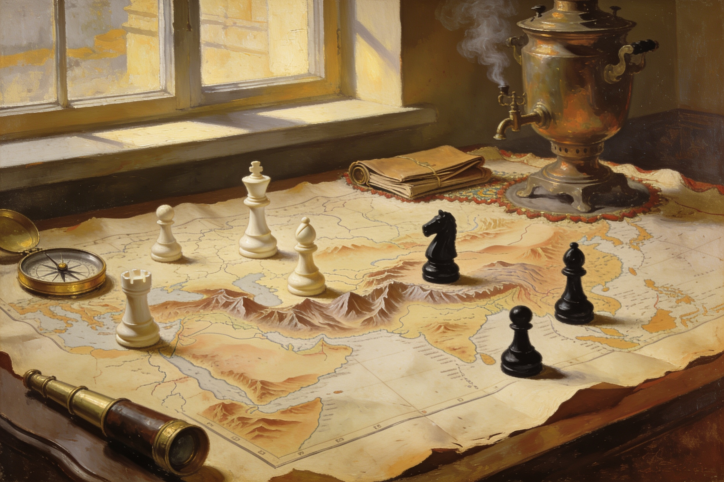
The most famous reply came from Nicholas Spykman, a Dutch born American scholar writing in the early 1940s. He accepted that geography shaped power, but he flipped the emphasis. The decisive zone, he argued, was not the thinly populated interior but the ring of coastal lands around it: Western Europe, the Middle East, South Asia and East Asia. He called this the Rimland.
The Rimland held most of Eurasia's people, industry and ports. It faced both inland and out to sea, so it was where land power and sea power met. Spykman's own summary reworked Mackinder's: who controls the Rimland rules Eurasia, and who rules Eurasia controls the destinies of the world. Later strategists drew on both thinkers, and elements of each are visible in twentieth century ideas about alliances and containment.
The critiques
Mackinder was a serious geographer, but his theory has attracted serious criticism, and it helps to lay it out plainly.
- Technology moved on. Air power, long range missiles and satellites reduced the protective value of interior distance that Mackinder treated as decisive.
- Economics matters as much as land. Wealth increasingly came from trade, finance, technology and productivity, not simply from controlling territory and raw materials.
- It is hard to test. The dictum is broad enough that almost any outcome can be read into it, which makes it a weak predictive tool.
- It can flatten people into terrain. Treating regions as pieces on a board overlooks the populations, politics and choices of the places being described.
- Its history was used selectively. Versions of heartland thinking were borrowed by various political movements in the twentieth century, some of which distorted it, and this has coloured how the idea is received.
How geographers read it today
Most contemporary geographers treat Mackinder less as a prophet and more as a primary source. His paper is a window into how an educated observer in an age of empire understood the world, and into the assumptions of that age. It is also a genuinely useful prompt. It insists on looking at the whole globe at once, on asking how technology changes the value of terrain, and on noticing which regions connect others.
Those questions have outlived his answers. The broader structural approach, reading mountains, rivers, straits and plains as constraints rather than destiny, runs through geography and power and the related concept of spheres of influence.
Thinking with maps
If you enjoy this kind of big picture history, MindSnap covers it in two minute daily lessons. MindSnap is our app, an iOS micro learning app with five flagship story driven collections plus unlimited topics, including geography and geopolitics. The Turning Points feature puts you at historical decision points, map in hand, and asks what you would choose before revealing what happened.
Mackinder's answers belong to his century. His habit of looking at the whole map at once belongs to any century.
Frequently asked questions

One snap tomorrow morning.
Two minutes in art, history, psychology, philosophy or economics, then the app tells you you're done.
Get MindSnap on iOSFree daily fact, forever. Pro is $9.99/month or $44.99/year.