The Bosphorus: The Strait That Made and Unmade Empires

Arts & History Editor
Last updated: August 2026
9 min read
TL;DR
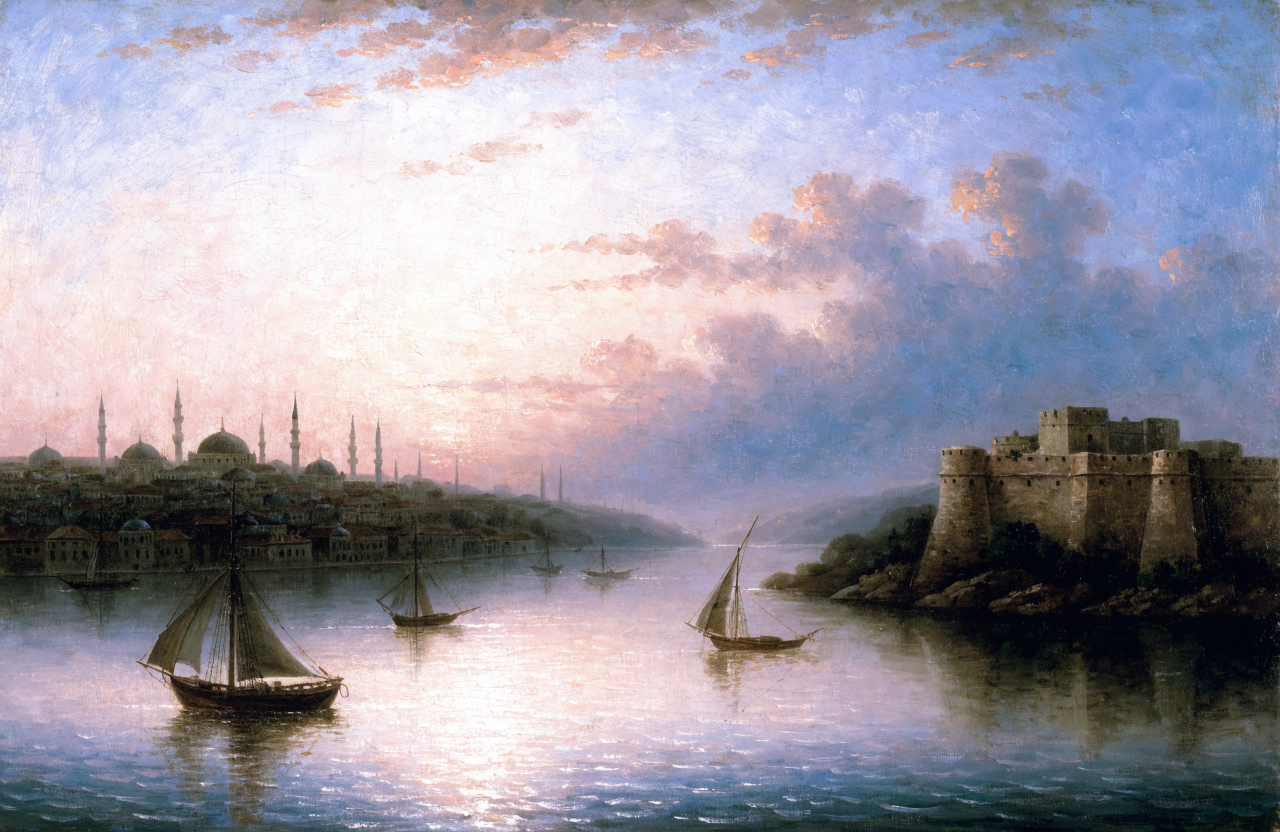
The Bosphorus is a narrow strait, in places under a kilometre wide, joining the Black Sea to the Sea of Marmara and from there through the Dardanelles to the Mediterranean. It is the only maritime exit from the Black Sea, which made whoever held its banks the gatekeeper of grain, fish, timber and slaves for two thousand years. Greek colonists founded Byzantium beside it, Constantine made the city his capital in 330, the Byzantines defended the Golden Horn with a great chain, and the Ottomans took the city in 1453 after building fortresses that closed the strait to relief fleets. Since 1936 the Montreux Convention has governed passage, one of the longest surviving maritime treaty regimes in the world.
There are places where you can stand on one continent, look across a few hundred metres of moving water, and see another. There is only one where doing so has repeatedly decided the fate of empires. The Bosphorus is about 31 kilometres long, and at its tightest it narrows to well under a kilometre. Almost every strategic fact about the eastern Mediterranean world descends from that measurement.
This is history and geography, not commentary on present-day affairs. What follows is the long pattern: why the strait mattered, who held it, and how each holder tried to turn a piece of water into an instrument of power.
One door, two seas
The Black Sea is very nearly a lake. Rivers pour into it from half of Europe, the Danube, Dnieper, Don and Dniester among them, and it drains to the wider ocean through a single chain: the Bosphorus, the small Sea of Marmara, then the Dardanelles into the Aegean.
That means everything shipped out of the Black Sea passes two narrow points, and the northern one runs through the middle of a city. Meanwhile the strait also separates Europe from Asia, so it sits across a major overland route as well as a major maritime one. Very few points on the map are simultaneously a bridge and a gate.
The current makes it stranger still. Fresher, lighter water from the Black Sea flows south on the surface while denser Mediterranean water moves north underneath, a two layer system that ancient and medieval sailors learned to read and exploit long before anyone could explain it.
Greek colonies and the grain trade
Greek cities began planting colonies around the Black Sea from roughly the seventh century BC, and those colonies changed the economics of the Aegean world. The northern coasts produced grain, salt fish, hides and timber, all of which the crowded, rocky cities of Greece needed and could not grow enough of.
Byzantium, founded on the European bank around 660 BC, sat exactly where that traffic funnelled. Its wealth came less from what it produced than from what it could tax and control. In the fifth and fourth centuries BC, control of the grain route was a matter of survival for Athens, and losing access to it was closer to a death sentence than a trade dispute.
This is the oldest lesson of the strait, and it applies to every narrow water: the toll booth is more profitable than the farm. The same logic explains the fortunes of harbours generally, which we unpack in why port cities rule the world.
Constantine's choice
In 324 the emperor Constantine chose Byzantium as the site of a new imperial capital, dedicated in 330. It looks visionary in hindsight and it was, but it was also a sober reading of a map. The site had water on three sides, a superb natural harbour in the inlet known as the Golden Horn, a landward approach narrow enough to wall, and a position astride both the sea route from the Black Sea and the land route between Europe and Asia.
The city grew into the largest in the Christian world and held out for over a thousand years, protected by the Theodosian Walls on land and by the strait everywhere else. Its survival through centuries in which the western empire dissolved is largely a story about geography being defensible.
The chain across the Golden Horn
The Golden Horn was the soft spot: a deep sheltered inlet whose shore walls were weaker than the great land walls. The Byzantine answer was one of history's more elegant pieces of engineering, a heavy iron chain floating on wooden pontoons stretched across the mouth of the inlet, anchored on both sides and raised to bar hostile fleets.
It worked repeatedly, against Arab fleets in the seventh and eighth centuries and against others later. Attackers who could not break it tried to go around it. In 1453 the Ottomans famously hauled ships overland on greased rollers to get vessels into the Horn above the chain, and in earlier centuries Rus fleets learned similar tricks.
1453 and the fortresses that closed the strait
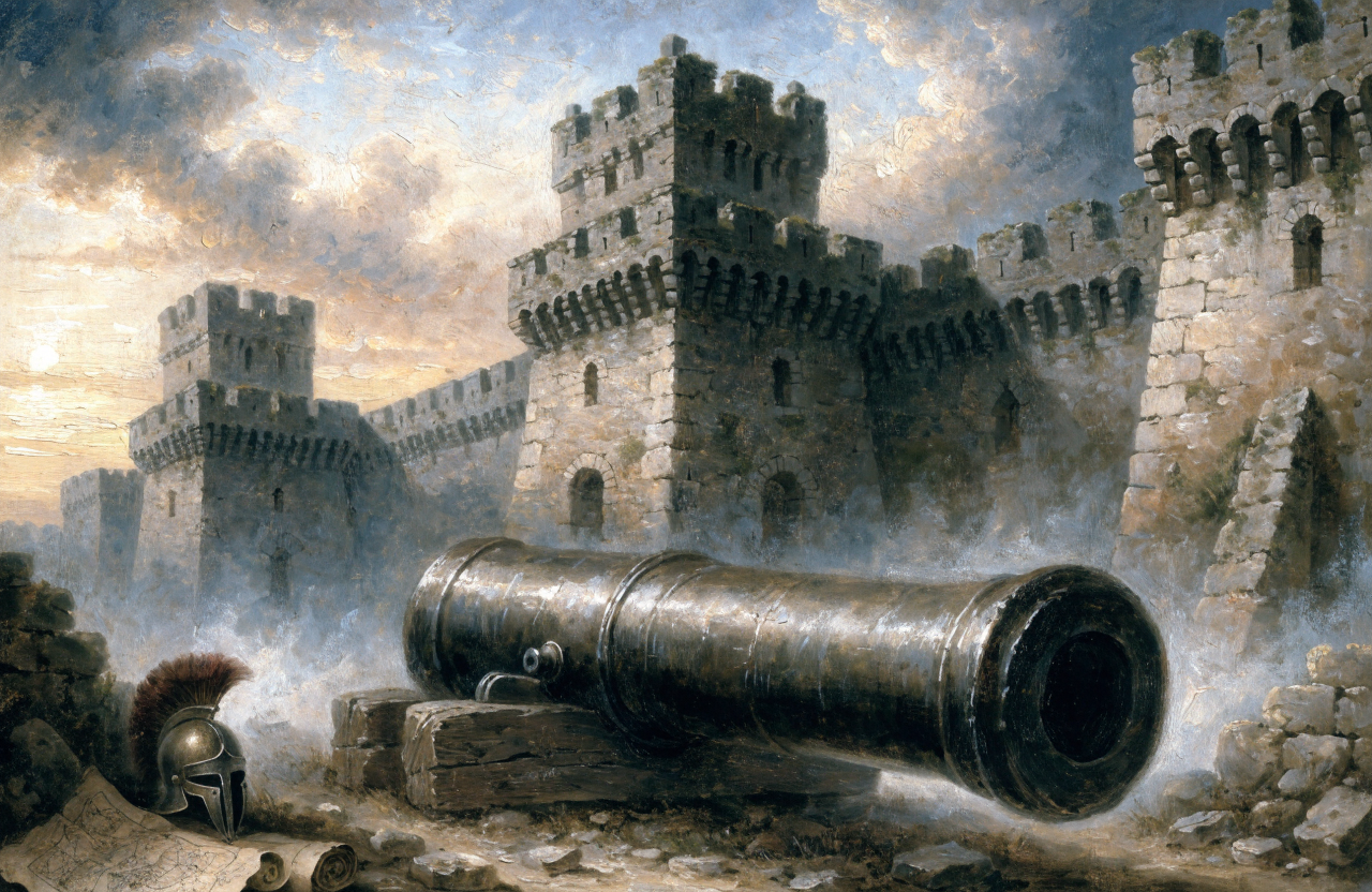
The final Ottoman campaign against Constantinople was, in engineering terms, a project to convert the strait from the city's shield into its cage. Sultan Bayezid I had already built a fortress on the Asian bank in the 1390s. In 1452 Mehmed II built Rumelihisarı directly opposite on the European bank, at the narrowest stretch of the Bosphorus.
Two fortresses facing each other across less than a kilometre of water, equipped with heavy cannon, meant that no relief fleet could reliably reach the city from the Black Sea. The nickname given to the new fortress, the throat cutter, was accurate. The siege of 1453 was won partly on the walls and partly by that geometry, and we tell the full story in the fall of Constantinople in 1453.
Because that single year is such a clean hinge in European history, it is also the subject of MindSnap's collection The Day the Middle Ages Ended. Disclosure: MindSnap is our app.
The Ottoman centuries
Under Ottoman rule the strait became internal water rather than a contested frontier, and the city, now Istanbul, resumed its role as one of the great commercial capitals of Eurasia. The empire generally kept the straits closed to foreign warships, a principle that outlasted the empire itself in modified form.
As other powers grew more interested in Black Sea trade and access, the legal status of the straits became a recurring subject of European diplomacy through the nineteenth century, producing a series of conventions on whether and how warships and merchant vessels could pass. The details are technical, but the pattern is simple: a strait narrow enough to close will always attract treaties.
Montreux, 1936
The regime that emerged and endured is the Montreux Convention, signed in Switzerland in 1936. In broad terms it restored Turkish sovereignty over the straits while guaranteeing freedom of passage for merchant ships in peacetime and setting out rules and limits for warships, with different treatment for Black Sea and non Black Sea states.
The reason it deserves a mention in an evergreen piece is longevity. Ninety years is an extraordinary run for a maritime treaty, and its survival illustrates a durable insight: where a passage cannot be substituted, the interest in stable, predictable rules is usually shared even by rivals. The same instinct governs other narrow waters, as described in maritime chokepoints explained.
The pattern, in one line
The Bosphorus never produced anything. It carried things, and it could stop things. That was enough to make a fishing colony into a world capital, to sustain an empire for a millennium, and to end that empire when someone finally worked out how to close the water. The broader theme, that terrain quietly sets the odds, runs through how geography shapes power and through the seven famous straits that shaped world history.
If you would rather stand inside one of these decision points than read about it, our interactive Turning Points feature drops you into 1453 with the choices the defenders actually had.
Constantinople was not built beside the strait. It was built by it.
Frequently asked questions

One snap tomorrow morning.
Two minutes in art, history, psychology, philosophy or economics, then the app tells you you're done.
Get MindSnap on iOSFree daily fact, forever. Pro is $9.99/month or $44.99/year.