Why Small Islands Punch Above Their Weight

Arts & History Editor
Last updated: August 2026
8 min read
TL;DR
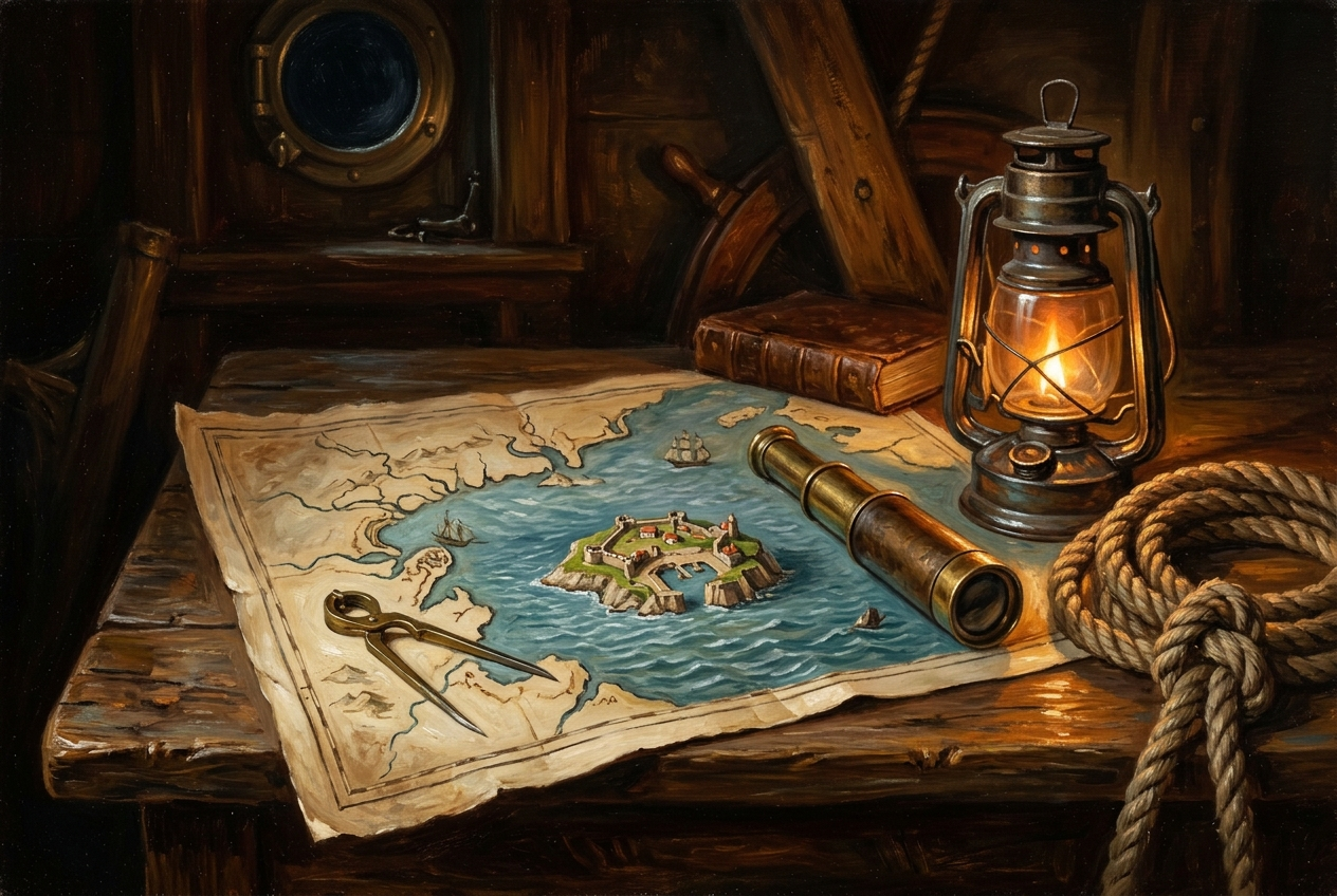
Small islands have mattered out of all proportion to their size for four repeating reasons: they are hard to take and easy to hold, they sit where ships must resupply, they overlook the narrow passages trade depends on, and under the modern law of the sea a single habitable island can anchor rights over an enormous area of ocean. Malta, Gibraltar, Singapore and the coaling stations of the steam era are the classic illustrations.
Look at a political map and small islands read as afterthoughts, specks that cartographers enlarge in insets so you can see them at all. Look at a chart of shipping lanes instead and the same specks turn out to sit exactly where the lanes narrow. That is not coincidence. It is the reason anyone bothered with them.
The pattern repeats across centuries and technologies, and it comes down to four properties. This piece is about the historical logic rather than any present dispute.
1. Defensible ground
An island is a fortress whose walls are made of water. Attacking one means moving troops by sea, landing them at a handful of usable beaches, and supplying them across an open stretch that the defender can watch. That asymmetry has meant that quite small garrisons could hold quite important places for a very long time.
Malta is the standard case. A limestone island with deep natural harbours in the middle of the Mediterranean, it was besieged repeatedly across its history precisely because whoever held it could watch traffic between the western and eastern halves of the sea. Gibraltar makes the same point with a rock instead of a harbour: a promontory that guards the entrance to the Mediterranean and that has been contested, fortified and famously besieged for exactly that reason.
2. Supply stations on long routes
Before ships could cross oceans without stopping, the route was defined by where you could take on water, food and repairs. That made islands along the way into infrastructure. A route without stations is not a route.
Steam made this dramatically sharper. Coal is heavy, it burns continuously, and a steamer without a bunker within range is not a warship, it is a very expensive hull. Nineteenth-century naval powers therefore built chains of coaling stations across the oceans, and small islands that had been unremarkable in the age of sail became essential links: places to fill bunkers, land telegraph cables and shelter from weather.
Two things follow. First, technology decides which islands matter, so the list changes when propulsion changes. Second, the value is relational: an island is important because of what it is between. The same logic explains cities, which I wrote about in why port cities rule the world.
3. Guardians of chokepoints
Most maritime trade does not spread evenly across the oceans. It funnels through a small number of narrow passages, and an island sitting beside one of those passages has influence over traffic that dwarfs its own economy.
Singapore is the clearest example of the productive version of this. An island at the eastern end of the Strait of Malacca, one of the busiest sea corridors in the world, it grew from a trading settlement into a major port and financial centre largely because everything passing between the Indian Ocean and the South China Sea passes nearby. Position became transhipment, transhipment became services, services became an economy.
The general mechanics of why these narrow waters carry so much weight are the subject of maritime chokepoints explained. The island version simply adds that a chokepoint usually has a small piece of land beside it, and that piece of land inherits the passage's importance.
| Pattern | What it provides | Classic illustration |
|---|---|---|
| Fortress | Hard to take, cheap to hold, watches nearby traffic | Malta in the central Mediterranean |
| Gate | Overlooks a narrow entrance to a wider sea | Gibraltar at the Mediterranean mouth |
| Station | Water, provisions, coal, cables, repairs | Coaling stations of the steam era |
| Hub | Position converts into transhipment and services | Singapore beside the Strait of Malacca |
4. The modern multiplier: sea rights
The twentieth century added something new. Under the framework codified in the United Nations Convention on the Law of the Sea, a coastal state can claim a territorial sea and, beyond it, an exclusive economic zone extending up to 200 nautical miles, within which it has rights over natural resources including fisheries and seabed minerals.
Islands change the arithmetic completely, because the zone is measured from land. A single small island far from any continent can therefore anchor rights over a vast circle of ocean. This is why states that look tiny on a land map can be enormous on a maritime one, and why the treaty's distinction between an island, which can generate a full zone, and a rock that cannot sustain human habitation or economic life of its own, which cannot, carries so much weight.
That legal distinction is where a great deal of technical argument now happens, and I am deliberately not adjudicating any of it here. The structural point is enough: a rule that measures ocean rights from land converted small islands from stopping points into the anchors of huge maritime entitlements. The broader framework, including how zones and the high seas fit together, is laid out in who owns the sea.
Why the pattern keeps returning
Strip away the specifics and the same three ingredients recur. Trade concentrates into narrow paths. Ships need land near those paths. Whoever holds that land gains leverage without needing scale. Change the technology and the leverage moves: sail favoured watering islands, steam favoured coaling islands, telegraph favoured cable landings, containers favour deep-water harbours with rail behind them, and the law of the sea favours anything that can be classified as an island.
It is a good demonstration of a broader principle: geography does not determine outcomes, but it hands out very unequal starting positions, which is the argument in geography and power.
How to look at an island on a map
- Ask what it is between rather than what is on it.
- Find the nearest narrow passage and measure how far the island sits from it.
- Check whether it has a deep, sheltered harbour, since a bay does more work than an area.
- Ask what the current technology needs: water, coal, cables, container cranes, or simply a legal foothold.
- Draw the 200 nautical mile circle around it and see how much ocean that covers.
Disclosure: MindSnap is our app. If reading maps this way appeals, that habit of asking what a place is between is the sort of thing our two-minute chapters are built around, across five flagship story collections plus unlimited topics.
The one-line version
Islands are not small pieces of land. They are positions, and position has always been worth more than area.
On a land map an island is a dot. On a chart it is a gate.
Frequently asked questions
One snap tomorrow morning.
Two minutes in art, history, psychology, philosophy or economics, then the app tells you you're done.
Get MindSnap on iOSFree daily fact, forever. Pro is $9.99/month or $44.99/year.