How Roman Roads Still Shape Modern Europe

Arts & History Editor
Last updated: August 2026
8 min read
TL;DR
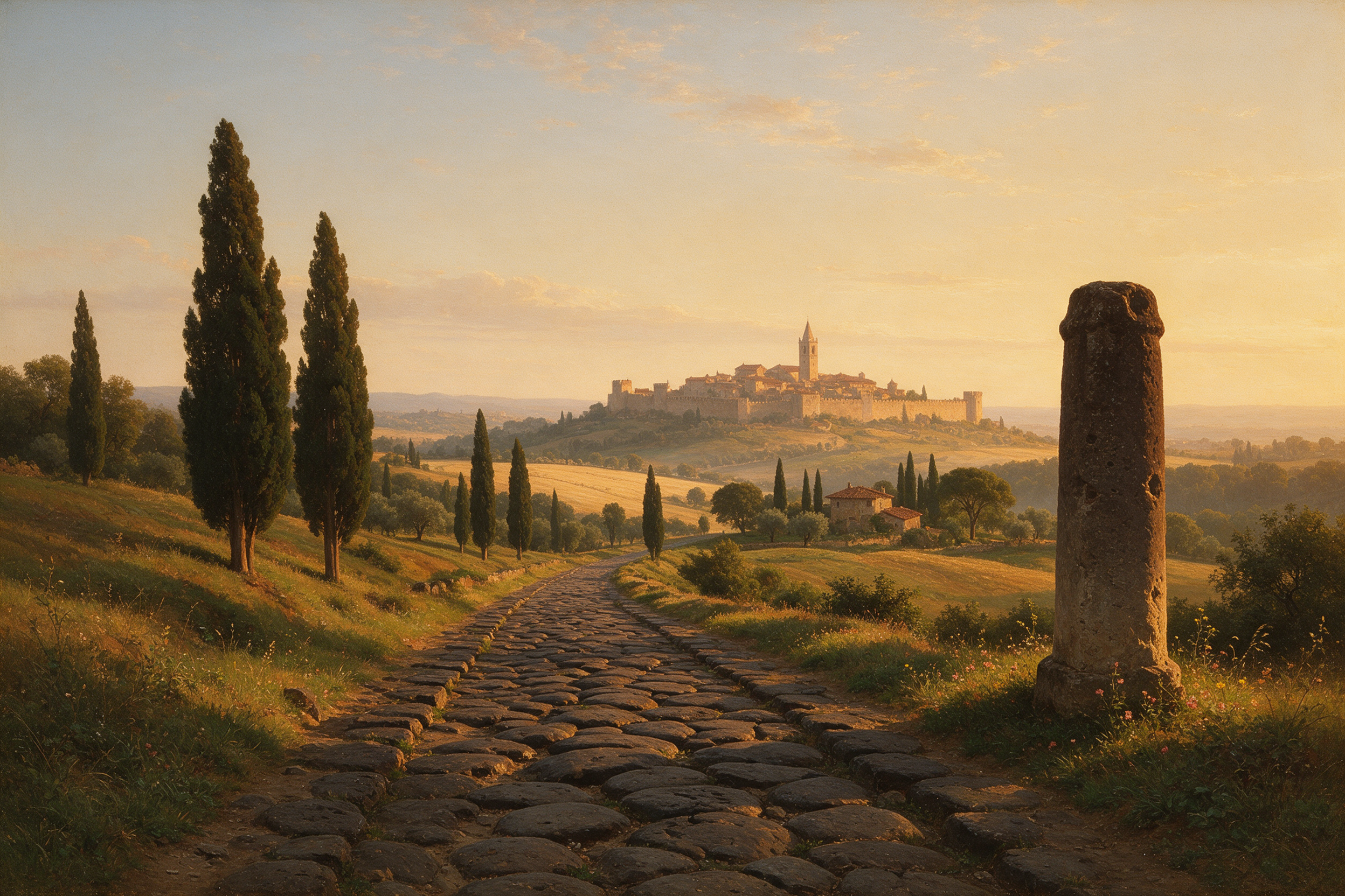
Roman roads were military infrastructure: straight, engineered, and laid out to move armies and messages quickly between garrisons. Because they were the only reliable long distance routes left standing, medieval traders, pilgrims and armies reused them, towns thickened at their junctions and crossings, and modern surveyors followed the same corridors when building highways and railways. The result is a continent whose transport map still carries the fingerprints of second century strategy, and a clear illustration of how early infrastructure choices lock in for centuries.
Drive the A1 north out of London and you are following a line that was surveyed by Roman engineers. Take a train from Milan toward Turin and you are broadly tracing a route laid out to supply garrisons in the Po valley. Look at where medieval market towns cluster in northern France and you are looking at road junctions chosen when the relevant question was how fast a legion could march.
This is not romanticism. It is one of the cleanest real world examples of path dependence, the tendency of early choices to constrain later ones long after the original reason has expired.
Roads built for soldiers, not merchants
It is worth being clear about the original purpose, because it explains the peculiar shape of the network. Roman roads were built for the state: legions, imperial couriers, tax collection and supply. Trade used them and benefited enormously, but bulk goods still moved by water wherever water was available, because a barge beats a cart by an order of magnitude on cost. Roads were for things that had to arrive fast.
That purpose produced the famous straightness. A merchant will happily detour around a hill to spare the animals. An army wants the shortest line between two fortified points, and an engineer with military labour available can cut, embank and bridge rather than wander. The result is a network of long straight segments with abrupt angle changes at surveying points, quite unlike the meandering routes that grow organically from footpaths.
The construction was serious. A prepared bed, a foundation of larger stones, layers of gravel or rubble, often a paved or compacted surface, a camber to shed water, and drainage ditches to either side. Milestones marked distances, and staging posts at intervals allowed couriers to change horses. By the empire's height the network ran to tens of thousands of miles, from northern Britain to North Africa and the eastern provinces.
Why the routes outlived the empire
When Roman administration receded in the west, road maintenance largely stopped. Surfaces broke up, bridges fell, and stone was quarried for churches and walls. What did not disappear was the route itself, and the route is the durable part.
Three reasons a corridor persists even when its pavement does not.
- The engineering choices were sound. The pass, the ford, the driest line across a marsh: these are facts about terrain, and terrain did not change when the empire did.
- The destinations survived. Cities founded or fortified as Roman nodes, London, Cologne, Lyon, Milan, York, remained the places people needed to reach, so the demand for the link between them continued.
- Reuse is cheaper than surveying. Even a degraded causeway is a better line than untouched forest, and later builders consistently took the existing embankment rather than starting from scratch.
So medieval traffic inherited the Roman skeleton. Pilgrim routes, fair circuits between market towns, wool and cloth traffic, and armies on campaign all used the old lines. Later, early modern post roads and turnpikes were improved on the same alignments, and nineteenth century railway engineers, looking for gentle gradients between the same major cities, frequently ended up in the same valleys.
Junctions become towns
The more interesting effect is on settlement rather than movement. A place where two routes cross, or where a road meets a river crossing, accumulates function. Travellers need to stop, so there are inns. Goods change hands, so there is a market. A market attracts a charter, a charter attracts craftsmen, and craftsmen attract a church and a wall.
Once that thickening has happened, the town is self-sustaining. It keeps growing because it is already there and because everything around it now assumes it is there. Follow the logic across a millennium and you get a settlement pattern whose spacing and placement reflect decisions made by Roman surveyors, even in regions where nobody remembers why the town sits where it does.
Water does something similar and often stronger, since river confluences and heads of navigation attract cities for the same accumulation reasons. We treat that side of the story separately in rivers and empires, and the interaction is important: the best sites in Europe are usually where an engineered land route meets a natural water route.
The pattern is not universal
Two honest caveats, because the popular version of this story overreaches.
First, plenty of Roman roads vanished completely. In areas that depopulated, or where the medieval economy reoriented toward different ports and different markets, the corridor lost its reason to exist and the line was ploughed out. Persistence required continuing demand, not just good engineering.
Second, some modern alignments only look Roman. Straightness can arise from later enclosure surveys or from nineteenth and twentieth century engineering with its own reasons to prefer a direct line. Establishing that a given road is genuinely ancient takes archaeology and documentary work rather than a glance at a map.
Path dependence is a tendency, not a law. The interesting question is not whether every old route survived but why so many did.
Infrastructure locks in
The general lesson travels well beyond Rome, and it is the reason this is worth knowing rather than merely charming.
Big infrastructure has a life far longer than the strategy that justified it. A canal cut for one commodity reshapes an economy for two centuries after that commodity stops mattering, which is the recurring theme in canals that changed the world. A rail gauge chosen once constrains rolling stock forever. A corridor opened for one purpose keeps attracting investment because the surveys, the land rights, the towns and the connecting links are already in place, and each new layer raises the cost of choosing differently. The same dynamic explains why several ancient overland trade corridors are being rebuilt today as rail and highway routes, a story we pick up in the Silk Road and modern trade.
That is also why decisions about routes are so consequential and so easy to underrate at the time. Nobody in the second century was choosing where a market town would sit in 1300 or where a motorway would run in 1965. They were choosing how to get soldiers to a frontier. The rest was inheritance.
Our history collections and the interactive Turning Points scenarios are built around exactly this kind of moment: a practical decision, taken for immediate reasons, whose consequences outlive everyone who understood the original problem. MindSnap, which is our app, uses that framing because it is how infrastructure actually shapes history, quietly and for a very long time.
Keep reading
Frequently asked questions
One snap tomorrow morning.
Two minutes in art, history, psychology, philosophy or economics, then the app tells you you're done.
Get MindSnap on iOSFree daily fact, forever. Pro is $9.99/month or $44.99/year.